Share This Location


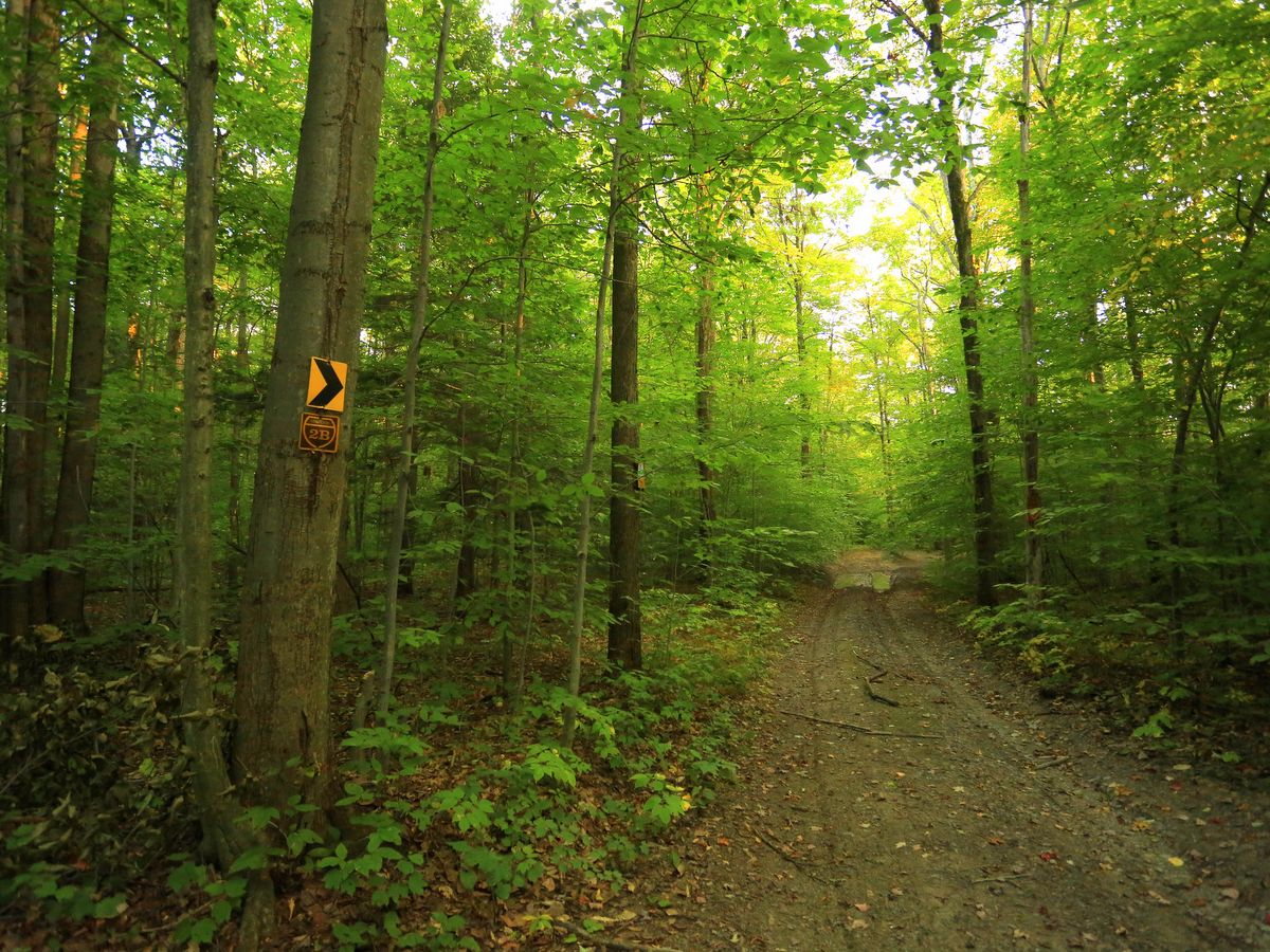
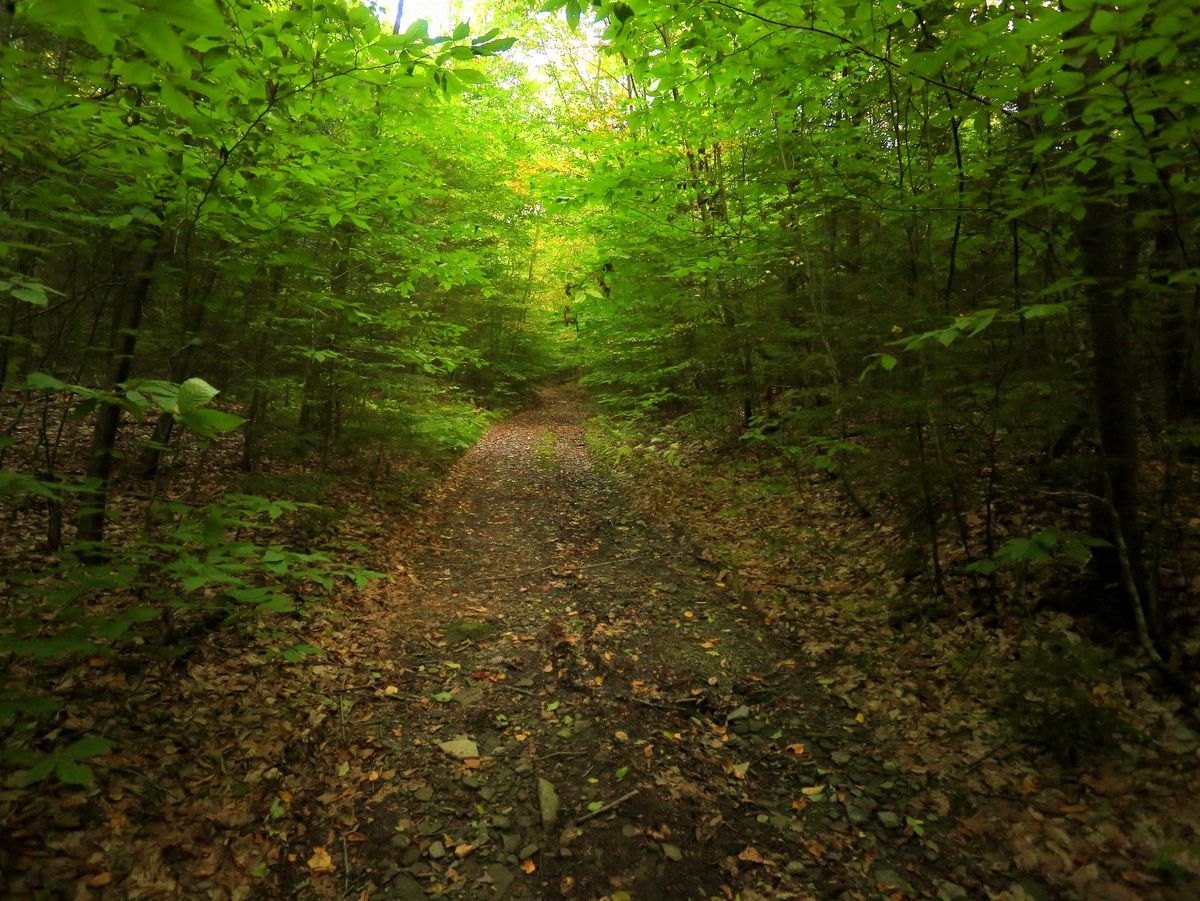
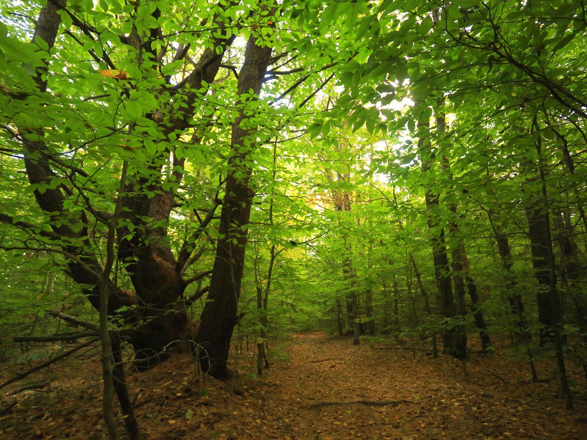
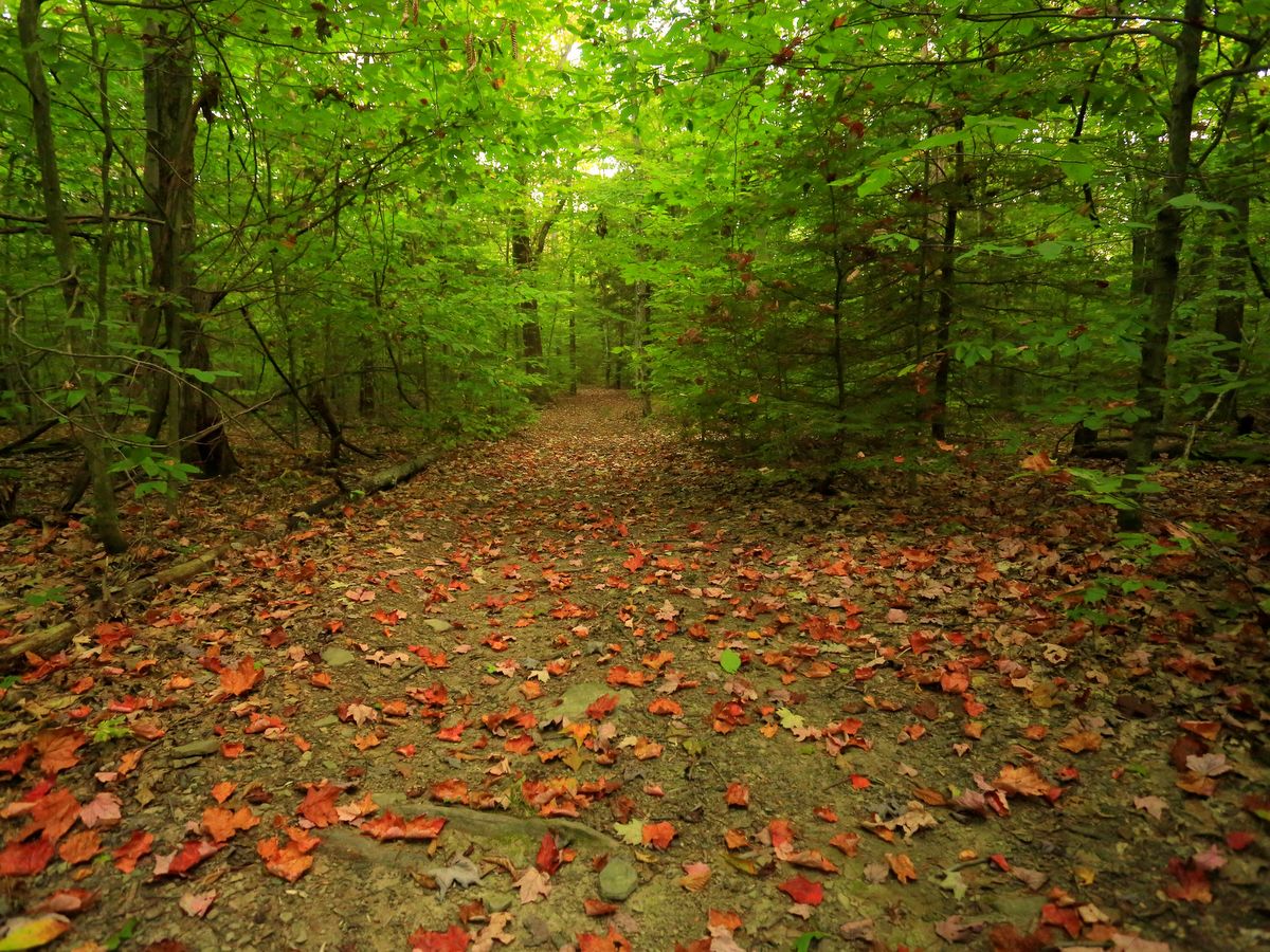
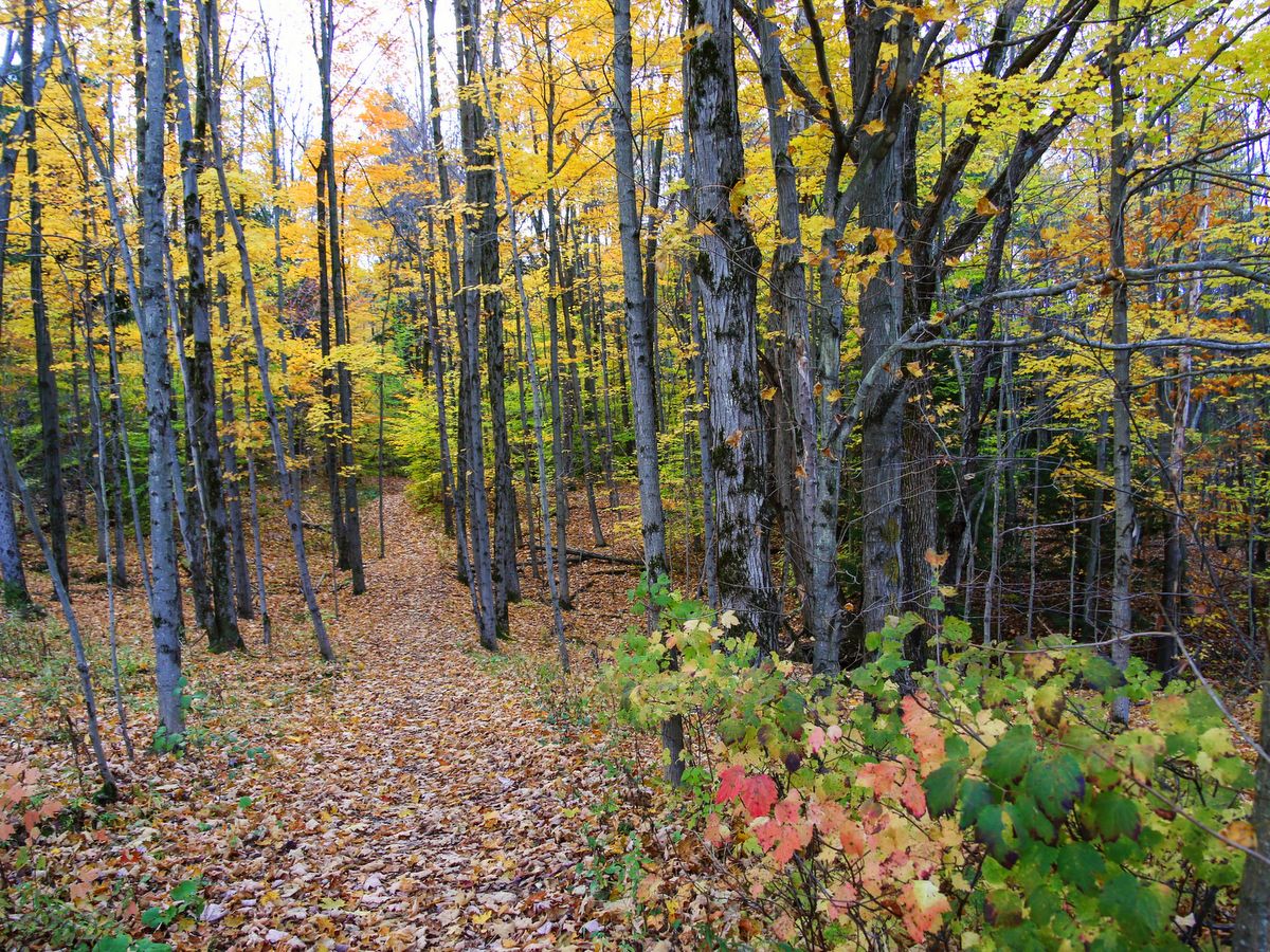
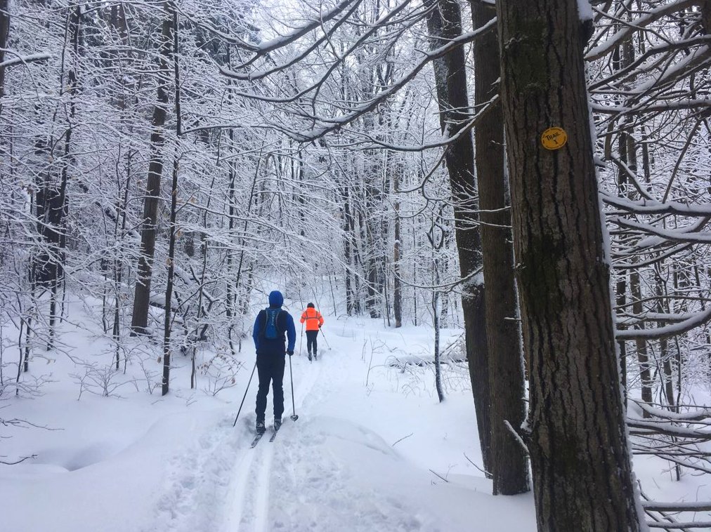
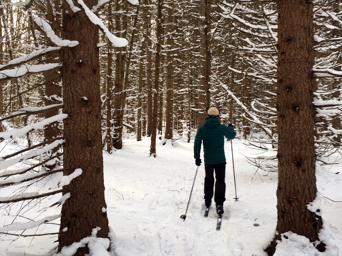
Hammond Hill is a popular destination for mountain bikers and cross-country skiers and it is easy to see why. Not only is the trail system well-built and maintained, it also features some very desirable conditions for these and other outdoor activities. The majority of the trails follow old forest roads and as such are broad and have mostly even surfaces. Many are long, straight corridors so that riders and skiers have clear views of what’s ahead, which is especially helpful for the downhill portions.
Wide trails provide an easy way to pass other adventurers and the lack of blind corners help users see who or what is coming — essential for safely sharing the trail. Perhaps more important than the trail structure is that the 20+ mile trail network explores a forest with towering and majestic oaks reminiscent of old-growth forest giants.
Visitors should note that the roads that run through the forest are seasonal and rough. Access via the longer Canaan Road would be better suited to high clearance vehicles, while lower clearance cars will find access along Hammond Hill Road and the western section of Star-Stanton Hill road more desirable. The main parking area for skiers is located on Hammond Hill Road and is the parking area most likely to be plowed in winter.
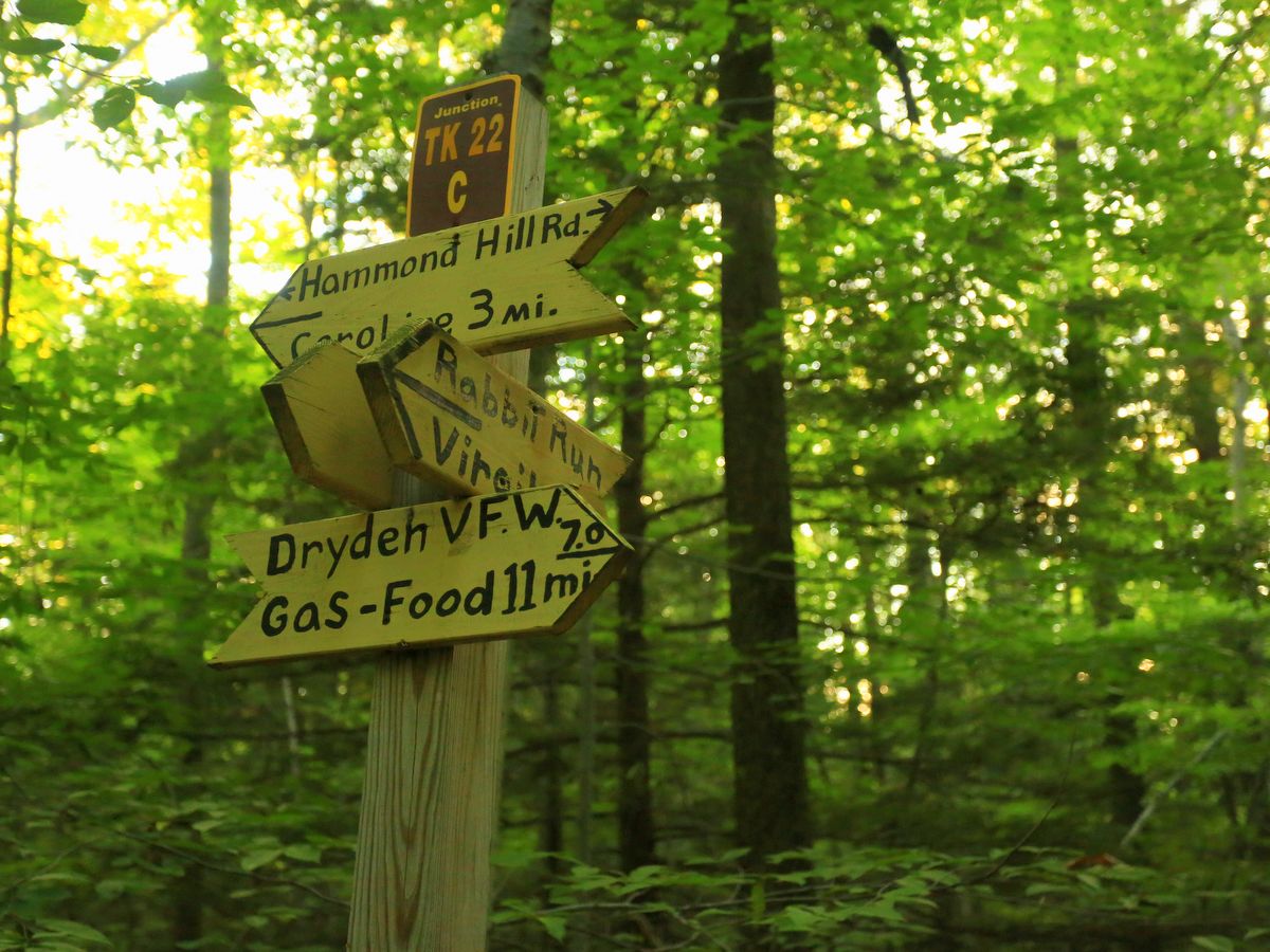
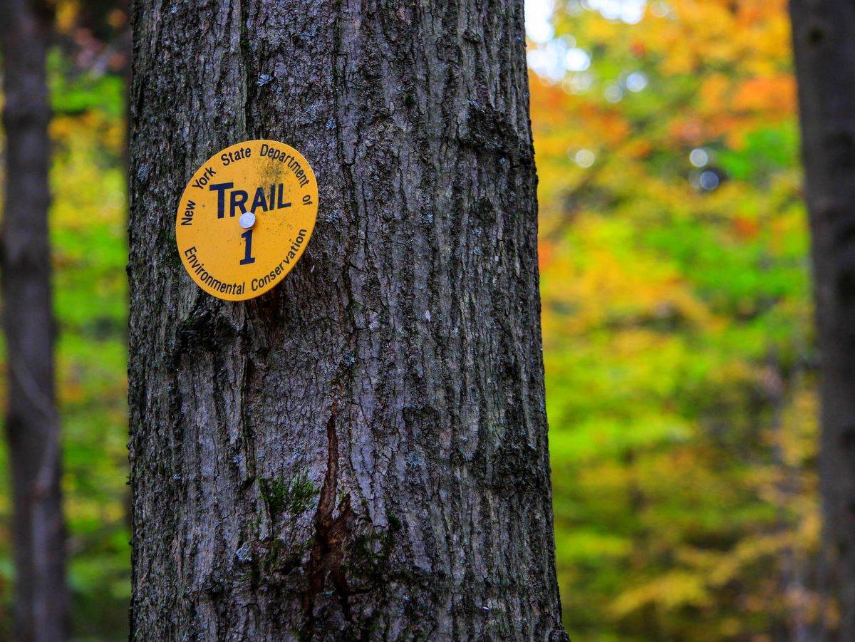
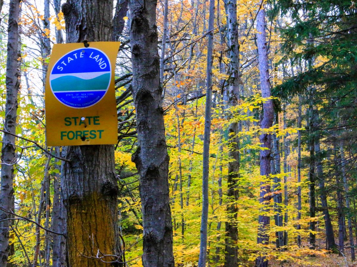
The network of trails has been divided and classified by difficulty: beginner, intermediate, and advanced. While the Department of Environmental Conservation (DEC) web site lists the different segments and their respective designations, it does not actually show the designations on their map.
The trails themselves are well marked, but for an accurate map you may have to look on the Cayuga Nordic Ski Club’s page. Like the DEC site, the club page classifies trails by color, number, and difficulty, and their assessment is pretty accurate. This isn’t surprising since they are part of a group of active volunteers who help to build and maintain the trails in the state forest. Through the Adopt a Natural Resource program (AANR), the collaborative efforts of the DEC, Cayuga Nordic Ski Club, Finger Lakes Land Trust, Friends of Hammond Hill, and the Town of Dryden have helped to build an ideal network of trails.
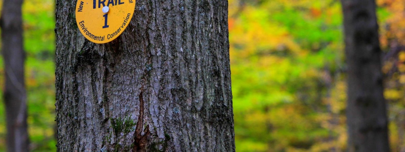
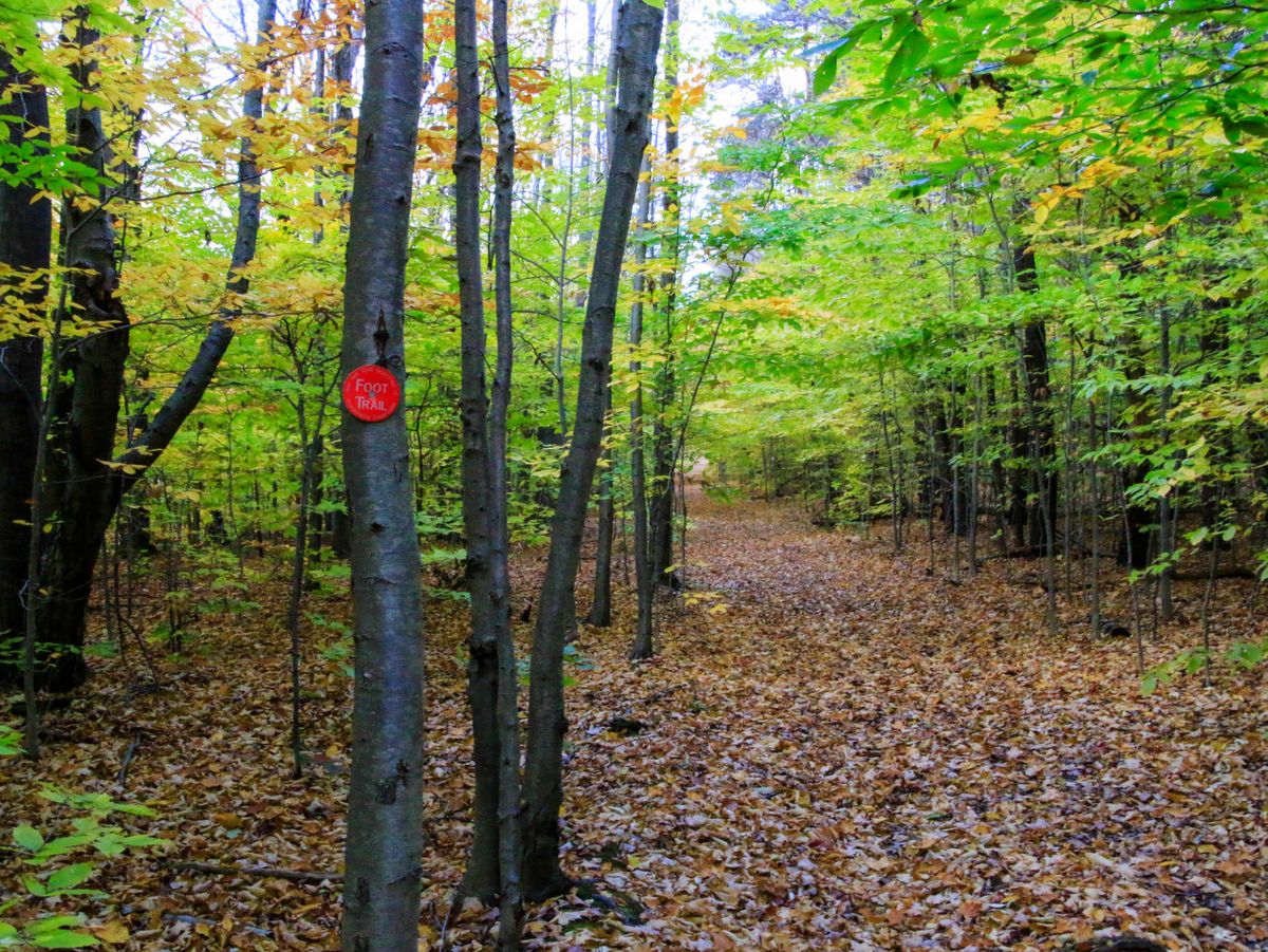
For hikers looking to expand their adventure, there is a section of the Finger Lakes Trail (FLT) along the eastern edge and a newly constructed connector trail to the Roy H. Park Preserve on the western edge. Please note, these trails are for foot travel only. The preserve is a Finger Lakes Land Trust property that is open to the public and helps create a bridge of protected lands by more fully connecting Hammond Hill State Forest with Yellow Barn State Forest, creating one more link in the ambitious Emerald Necklace project.
You can learn more about the Emerald Necklace in our Regional Conservation Agenda.