Share This Location


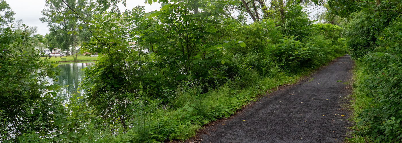
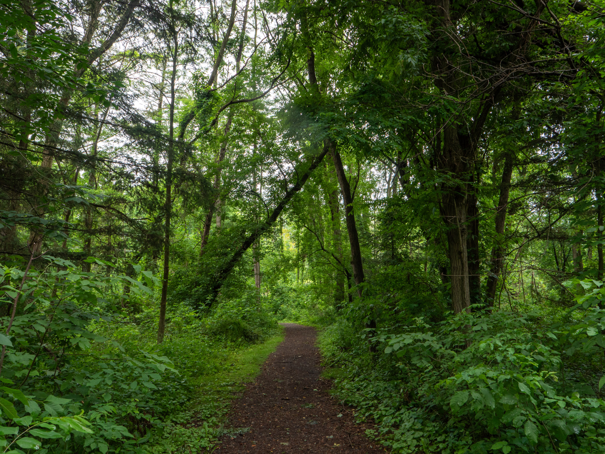
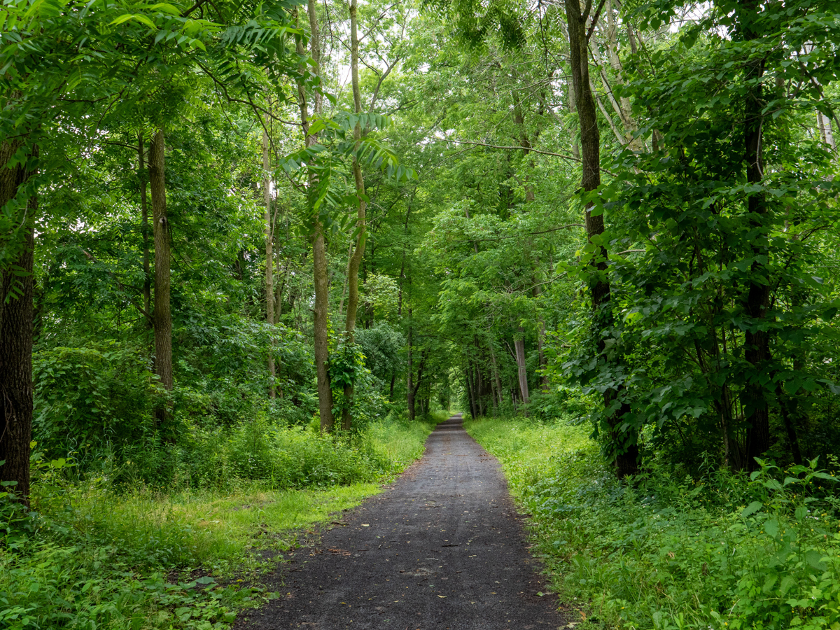
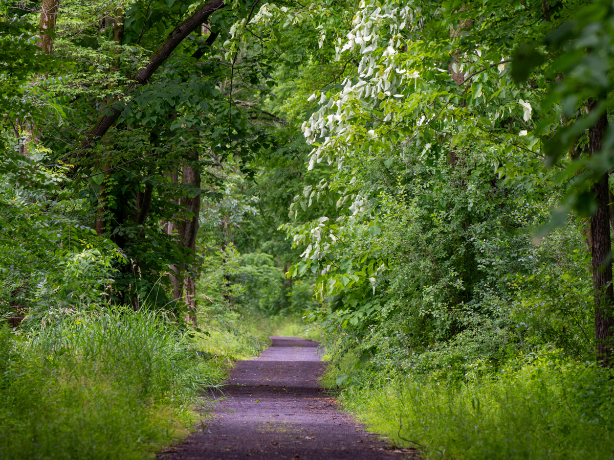
The Cayuga-Seneca Canal Trail succinctly captures the Finger Lakes experience — minus the iconic gorges and waterfalls. It is a microcosm of a drive along a wine trail beside the sinuous Finger Lakes, but rather than taking it in at 50 mph, the pace along the Cayuga-Seneca Trail is more leisurely. The corridor is lined with trees and features a broad, level, stone-dust trail that is a pleasure to ride, walk, or run. Free of obstructions, the path allows you to take in the sights, sounds, and, for better or worse, smells of the pastoral landscape.
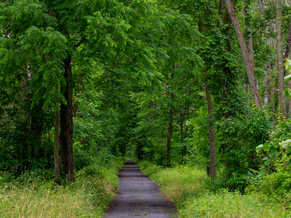
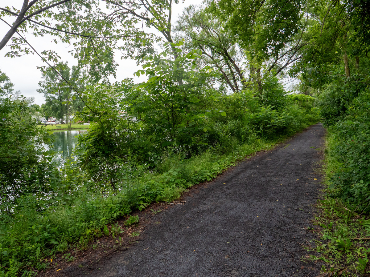
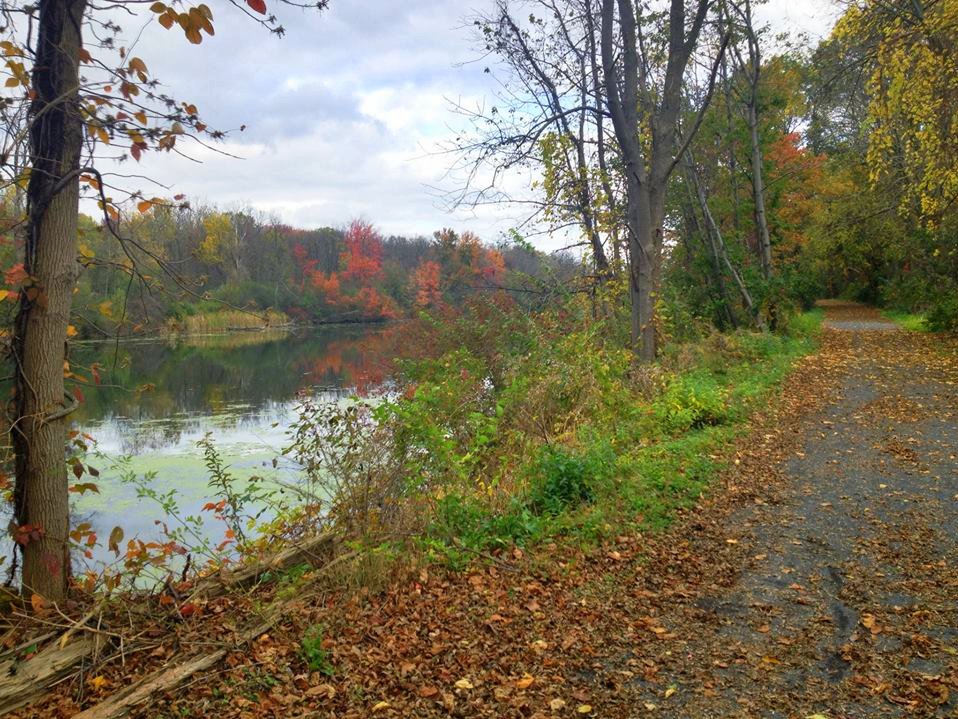
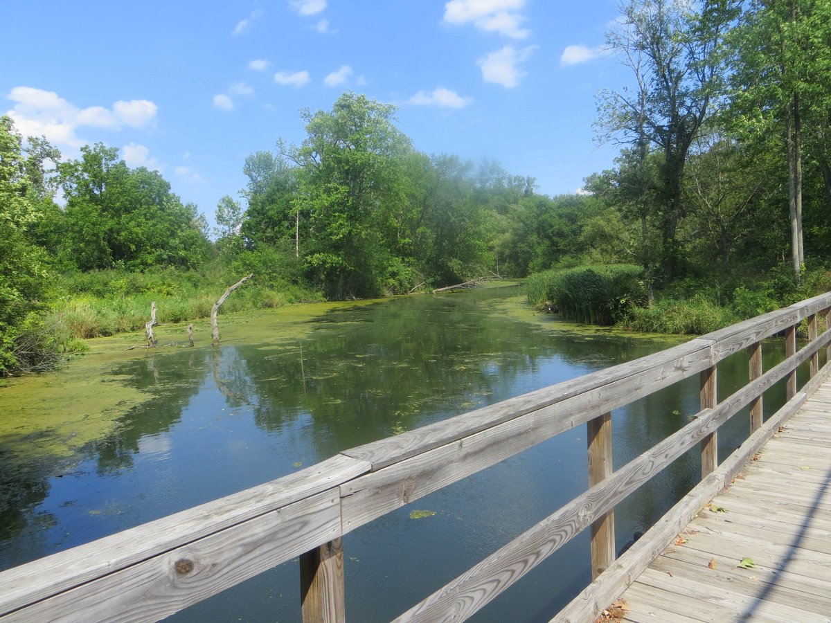
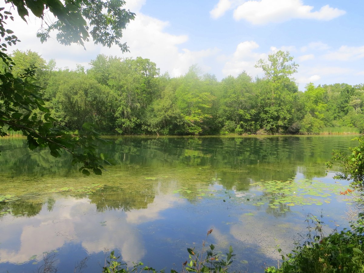
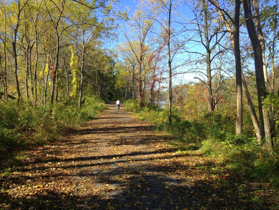

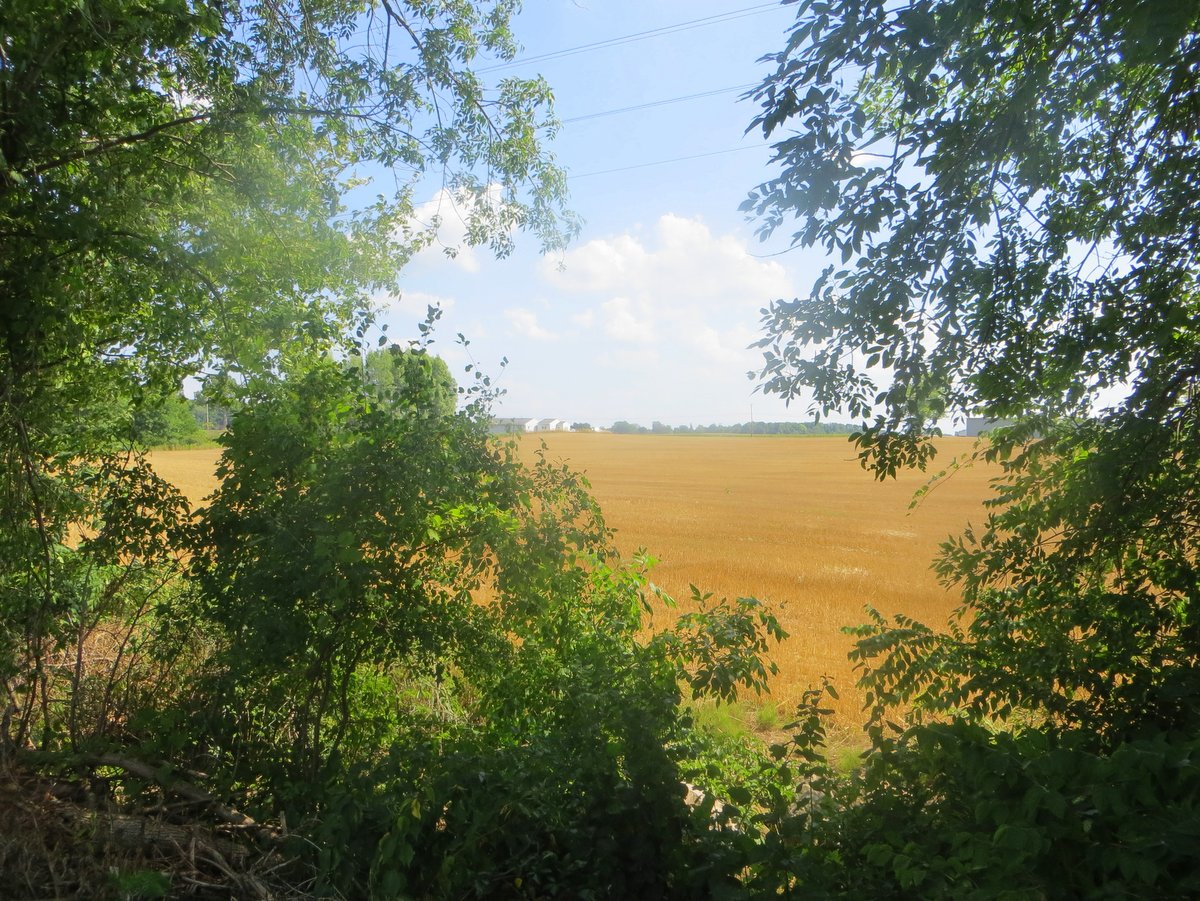
The trail follows an old railroad bed beside a canal that links the two largest Finger Lakes while connecting picturesque villages along the way — or at least it will when complete. Presently, 9 of the eventual 19 miles are finished and open to the public. Through the trees and between the wetlands, travelers find boaters and paddlers cruising the Cayuga-Seneca Canal and sprawling agricultural fields. There, in a nutshell, so to speak, is the Finger Lakes region: lakes, canals, biking, and hiking trails, flat-water paddling, leisurely boating, wildlife marshes, and quiet woodlands all surrounded by agricultural fields.
The eventual plan is to connect Seneca Lake State Park to Montezuma National Wildlife Refuge. At that point, the trail would connect with the roughly 300 mile-long Erie Canalway Trail and provide a truly extensive off-road corridor. Presently the off-road portion starts at 96A in Fayette near Seneca Lake State Park and follows an abandoned railroad corridor to the Village of Waterloo — roughly 5 miles. A tunnel under 96A provides a direct connection to the 2.5-mile Lakefront Trail at Seneca Lake State Park.
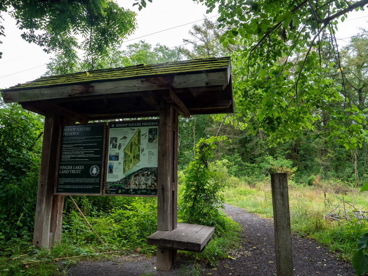
Current access to the eastern end of the trail is available near the DOT building near Lock #4 in Waterloo. The western end can be accessed by parking at Seneca Lake State Park (fees apply) or at the Bishop Nature Preserve, owned by the Finger Lakes Land Trust. The preserve has a large gravel parking area off West River Road and a newly constructed stone dust path that connects directly with the Cayuga-Seneca Canal Trail.