Share This Location


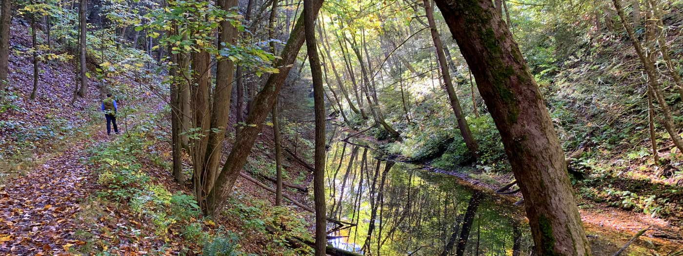
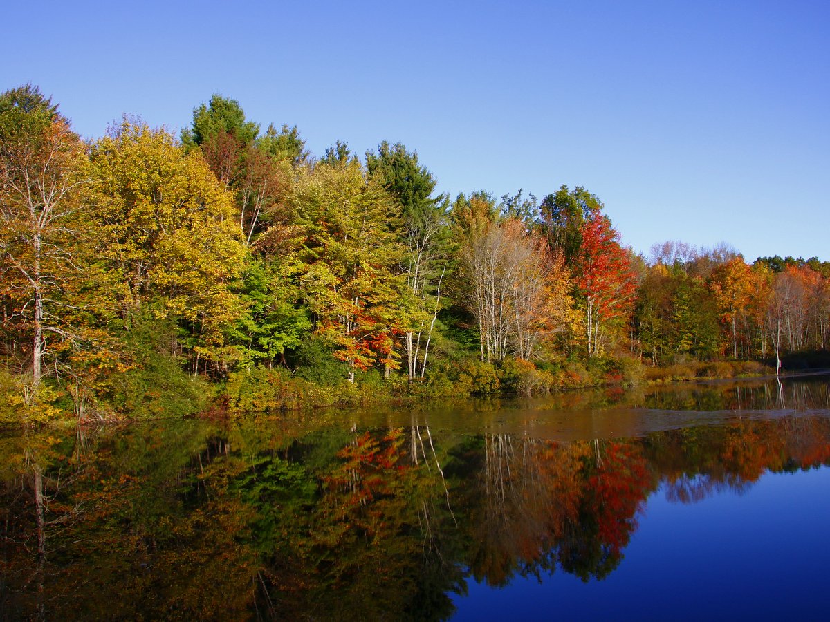
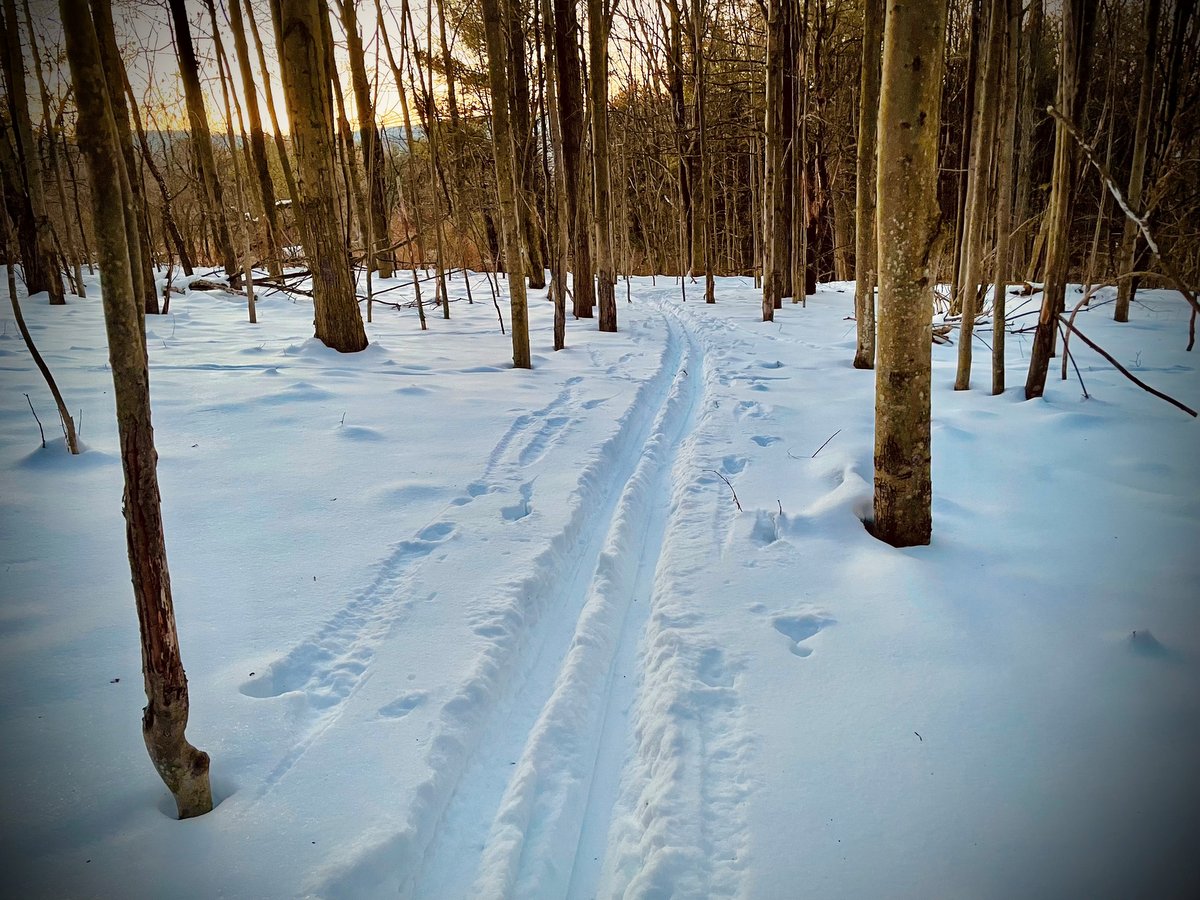
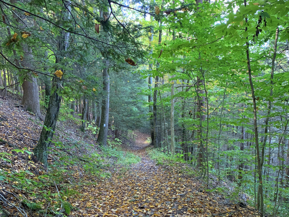
In a region dominated by out-and-back hikes, the Connecticut Hill Wildlife Management Area boasts not one but two separate loop hikes: the Van Lone Loop and the Bob Cameron Loop. The 5.7 mile-long Van Lone Loop shares a particularly picturesque section of the Finger Lakes Trail (FLT) which follows Cayuta Creek along a mostly level route free of obstructions. The trail then climbs beside a wooded stream and finally completes the loop by following sections of remote forest roads.
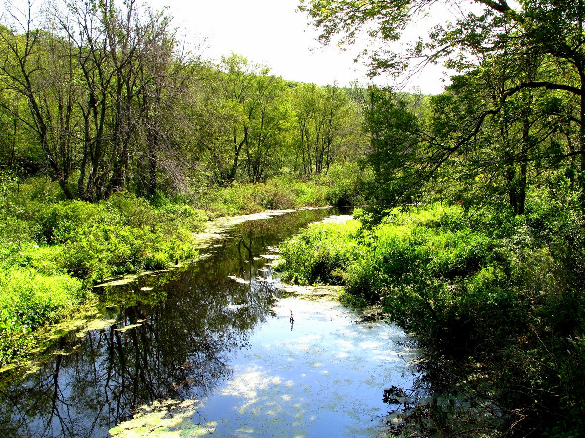
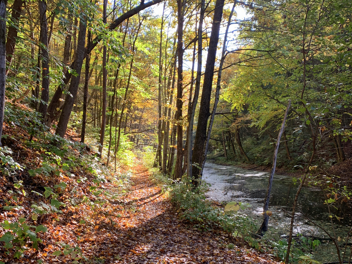
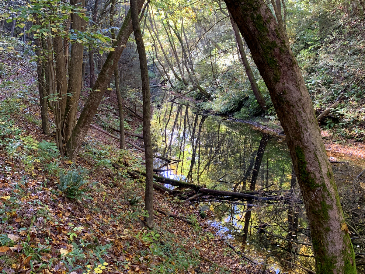
The 2.6 mile-long Bob Cameron Loop is near the FLT, but entirely separate. The loop lies within a deep, mostly deciduous forest with the trail crossing several seasonal streams. The trail passes by an abandoned farmstead at one such crossing in a scenic glen, roughly at the halfway point. An extended excursion can be accomplished by hiking both loops and the interconnecting segment of the FLT that resembles a dumbbell. This route will traverse most of the wilderness area and provide a good challenge and some solitude for hikers.
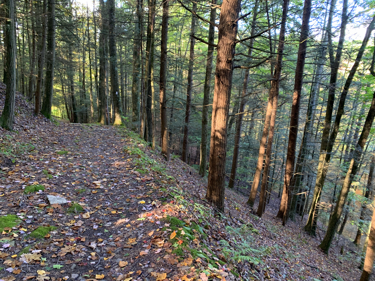
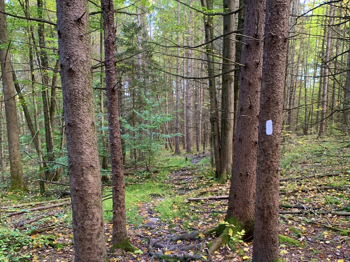
Mountain biking is prohibited along the FLT, but numerous forest roads provide an extensive biking trail network. Unlike state forests, which focus on recreation and forest management, the focus here is on wildlife and wildlife-related recreation. Similarly, unlike state forests where primitive camping is allowed without a permit and with few limitations, camping within the wildlife management area is limited and by permit only.
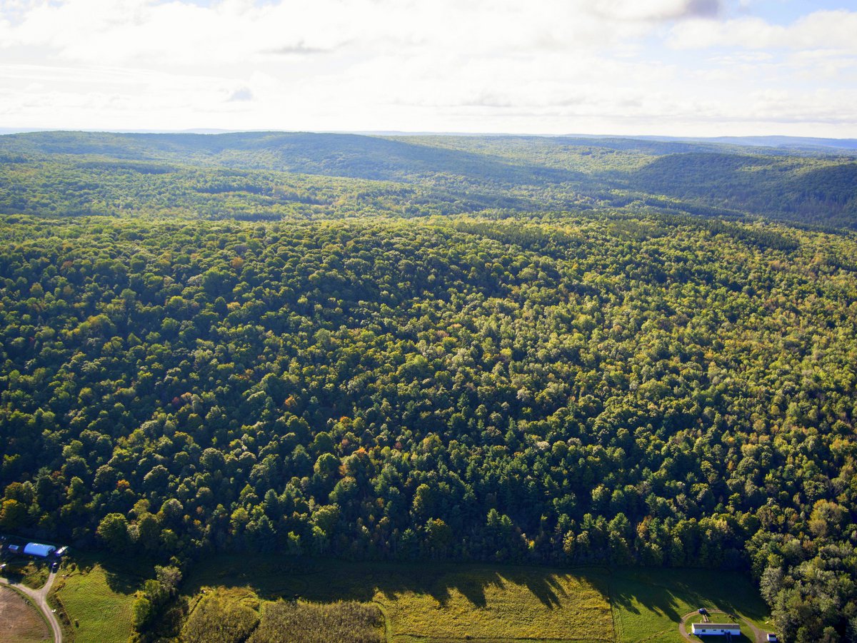
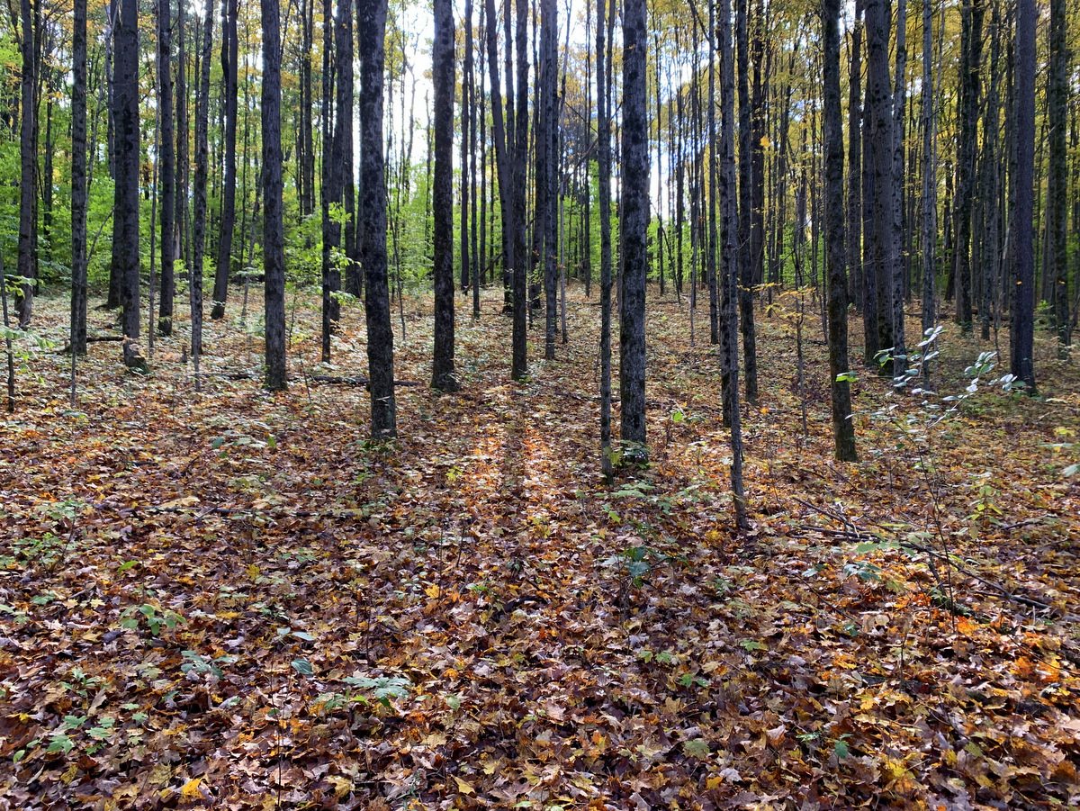
Connecticut Hill is the largest wildlife management area in the state, encompassing 11,375 acres. It is also one of the largest contiguous high elevation forests in the region and as such is recognized as an Important Bird Area (IBA) by the Audubon Society. Notable bird species seen here are the Northern Goshawk, American Woodcock, Red-shouldered Hawk, and numerous forest songbirds.
Connecticut Hill is one of the largest parcels of protected public land found within the ambitious Emerald Necklace project. Spanning from the Finger Lakes National Forest in the west to Hammond Hill State Forest in the east, the Emerald Necklace proposes to link 50,000 acres of existing outdoor space into one contiguous greenbelt. It will protect the water quality for Cayuga Lake and the Susquehanna River, but will also eventually ensure that 80 miles of the FLT follow a continuous, scenic, and off-road route, rather than the segmented nature present today.
Connective corridors are not just great for hikers, bikers, and skiers but they also protect the habitats of wide-roaming wildlife such as black bear and rare forest songbirds. It’s a priority project within New York State’s Open Space Plan and one that all outdoor enthusiasts can get behind.
Learn more about the Emerald Necklace in the Regional Conservation Agenda produced by the Finger Lakes Land Trust.