Share This Location


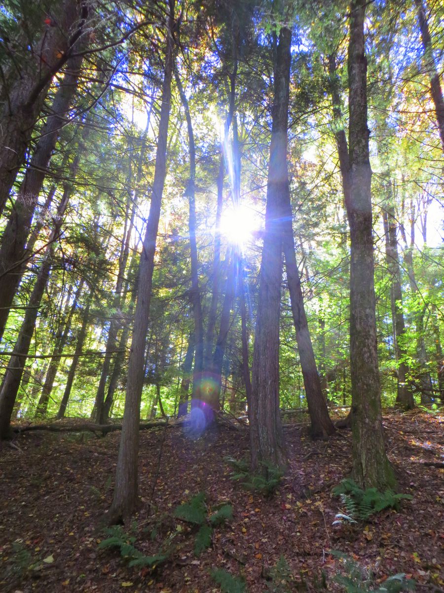
Oakley Corners State Forest is literally divided in half by Dutchtown Road, and though much of the forest is the same to the north and south of the road, there are a few differences. Notably, all of the ponds are within the southern portion of the property, and the trails around them, marked in yellow, are more level and easier. The northern section features uneven terrain and more challenging trails. While backcountry camping, following DEC guidelines, is allowed throughout the forest, a small number of designated sites are found around the southern ponds. They are popular destinations, so don’t plan on the pond sites being available.
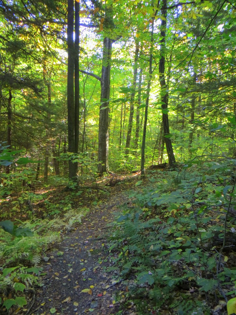
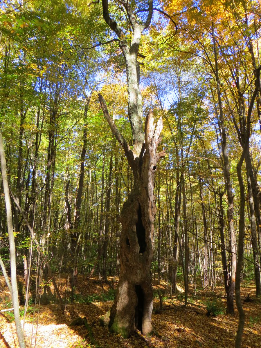
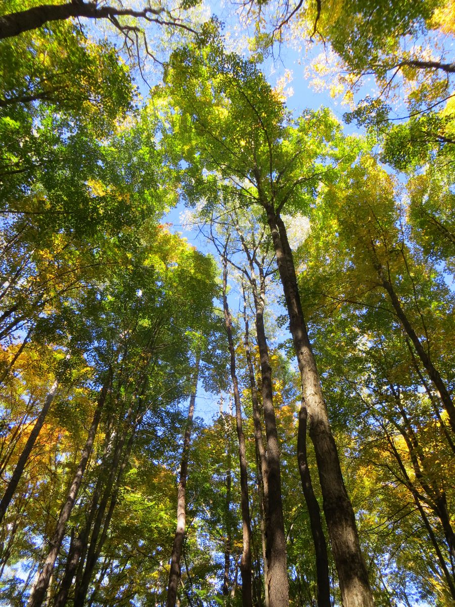
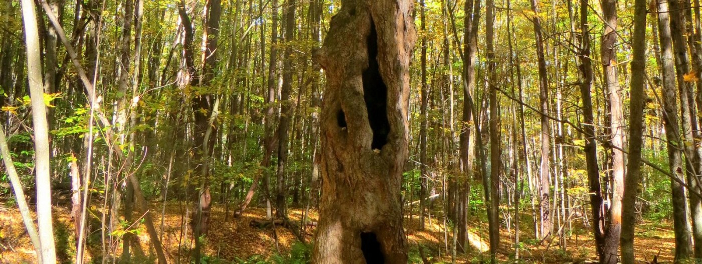
The seventeen miles of deep, woodland trails follow many interconnected loops that allow for longer or shorter treks. Trail marking here appears less complete that at other state forests, so researching length and difficulty beforehand is recommended. If you forget to plan in advance, note that in the northern section there is a central access road that can be used as a reference should you ever get turned around.
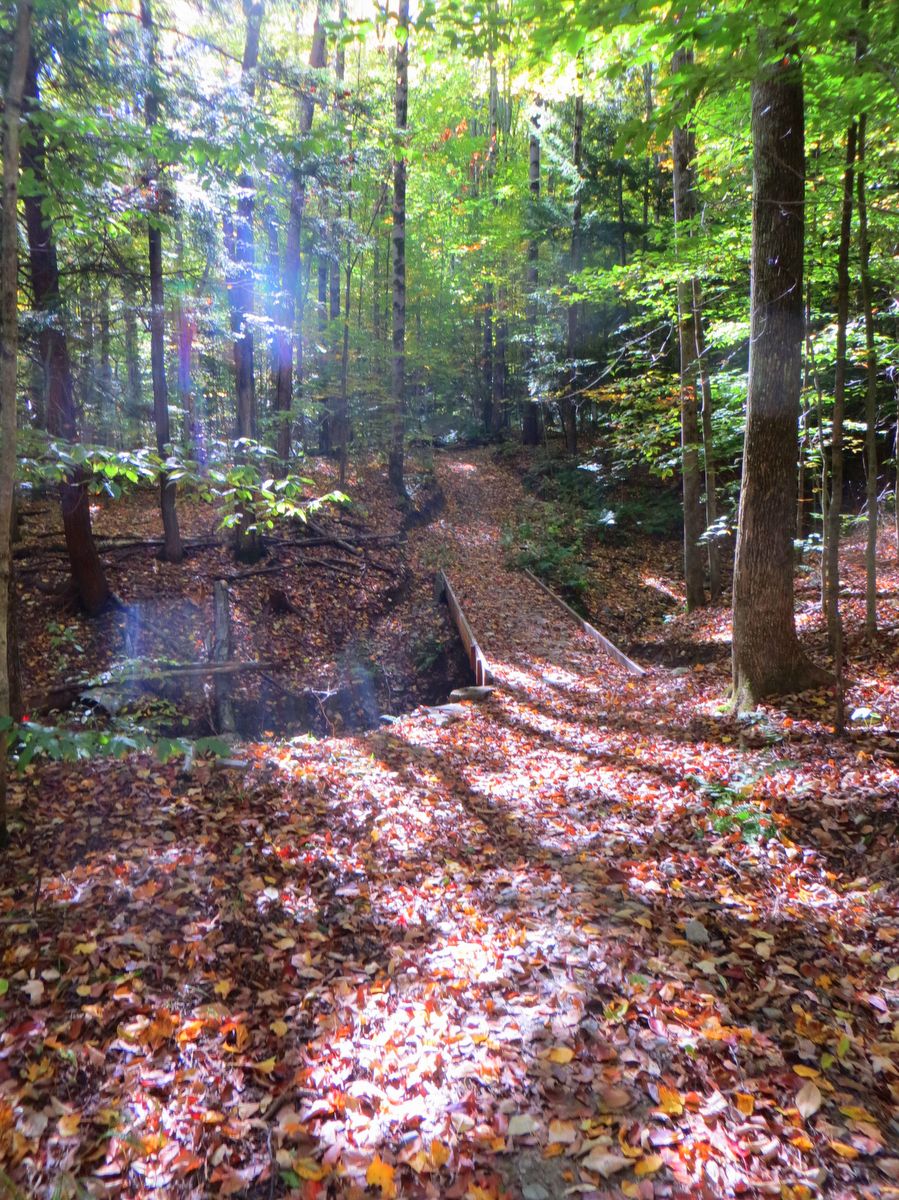
Despite the lack of signage, the actual trails themselves are in great shape and offer a good deal of solitude. Trail work has included the construction of many sturdy bridges and ditching to provide dry, stable trails even during wet seasons. Cross-country skiing is popular here and mountain biking is increasing as well. The network of trails here was built by the Triple Cities Ski Club through the DEC’s Adopt-A-Natural Resource (AANR) program and is another great example of how public and private partnerships can make natural resources accessible.