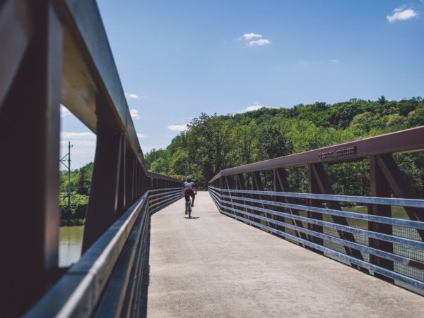
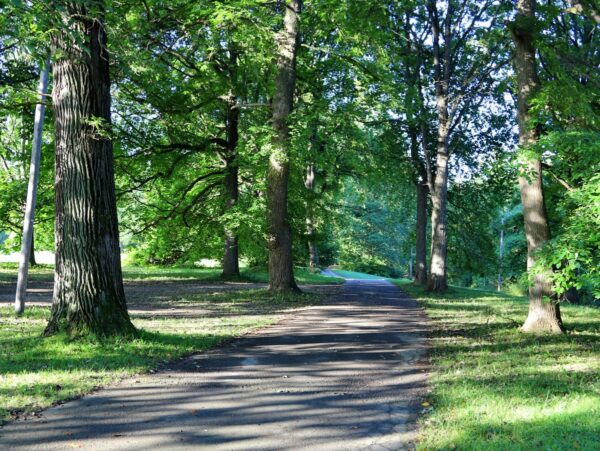
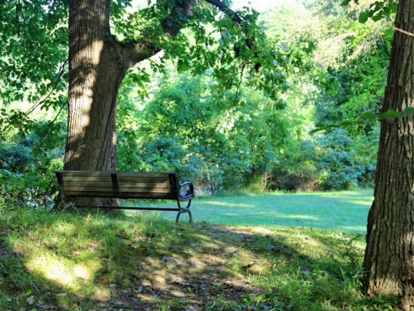
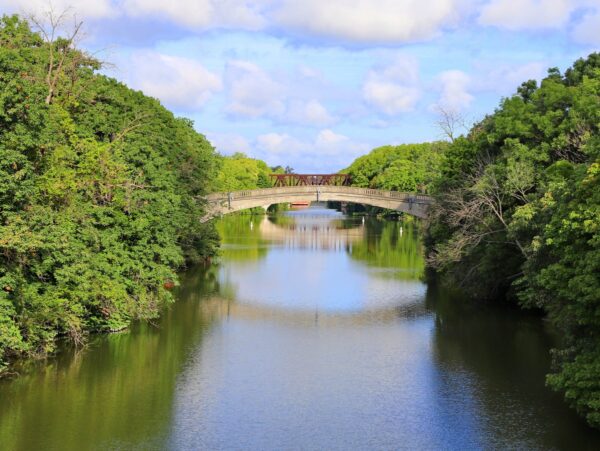
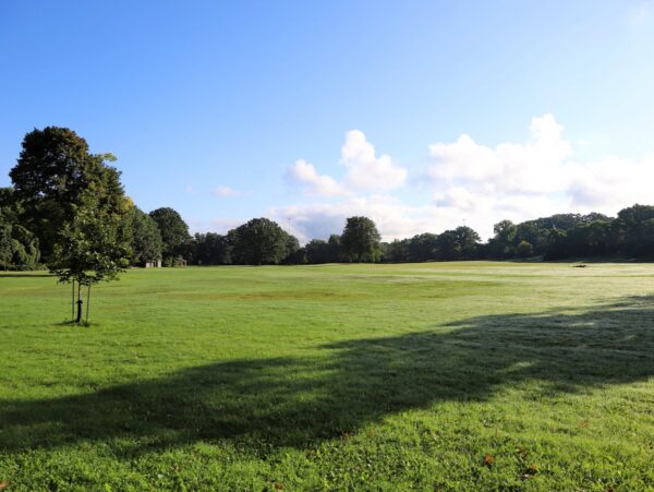
When imagining rail travel or canal travel in the 18th century, images that come to mind are small towns and villages, separated by vast agricultural fields, forested hills, and maybe even a meandering river. This would have been the experience of barges traveling along the Genesee Valley Canal in the 1840s and passengers on the Genesee Valley Canal Railroad in the 1880s, and a similar pastoral setting can be experienced along the ninety-mile Genesee Valley Greenway today! Connecting Rochester in the north and Cuba (New York of course) in the south, the Genesee Valley Greenway State Park is a wonderful example of repurposed infrastructure – towpaths and railroad beds – into a new vibrant multiuse trail.
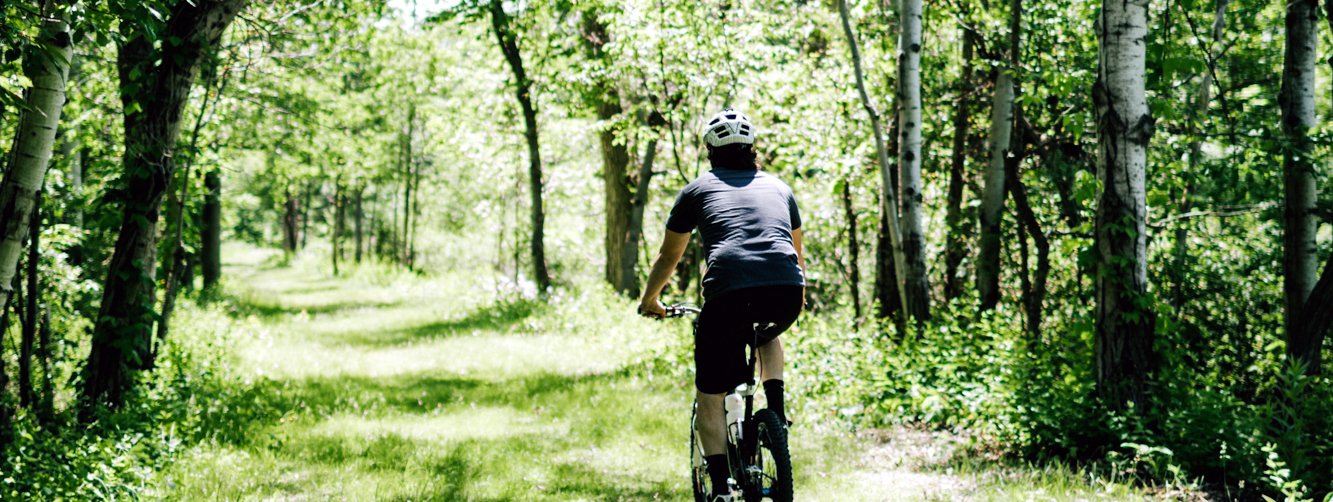
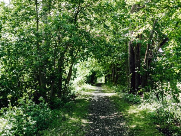
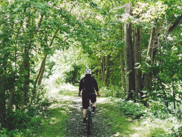
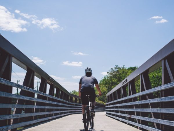
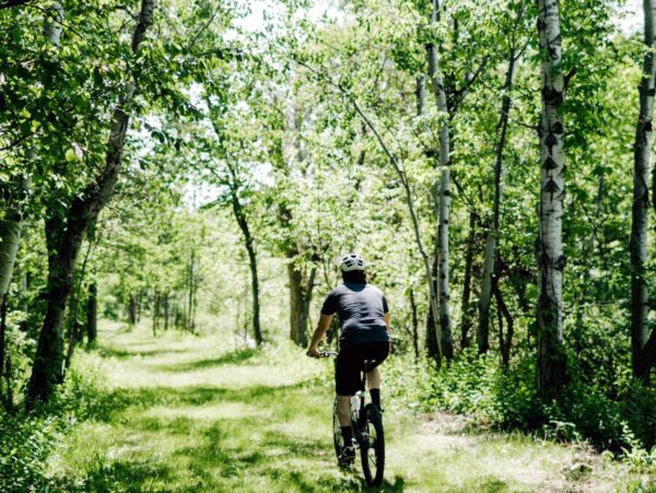
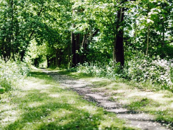
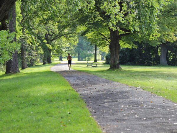
Greenways are often thought of as only cyclist and walking paths, but equestrians, snowshoers, skiers, snowmobilers, and fishermen utilize these routes to enjoy their favorite pastimes as well. Cyclists should note that while road bikes can utilize the trail, hybrid bikes are more suitable for the rougher sections. The trail base is mostly a mixture of cinders, gravel, and mowed grass, with small portions of stone dust and paving. As is the case with other repurposed rails-to-trails projects, two can comfortably ride or walk abreast, though multiuse trail etiquette dictates you stay to the right when sharing the spacing. It is mostly straight and level, especially for sections north of Mount Morris, and crosses 16 towns and five counties: Monroe, Livingston, Wyoming, Allegany, and Cattaraugus.
Heading North to South, the northern tip of Letchworth State Park at Mount Morris is just shy of one-third of the total trail length. The trail once passed through the park, just as the canals did, but due to erosion of the gorge wall, it has been rerouted to the east passing through Sonyea and Tuscarora. Another quarter of the total trail length is accounted for in reroute that reconnects to the southern tip of Letchworth near Portageville, a little past the midpoint of the trail. The intermingling of off-road and on-road portions of the route are more frequent and with greater portions on-road south of Letchworth. The work on this trail is not complete with improvements and repairs made each year, so in a way the route, much like its history, is ever-evolving. For current trail conditions, including reroutes, check out the Friends of Genesee Valley Greenway website: fogvg.org.
Ninety miles of trail means it is unlikely you will make the trip in one day (it is certainly possible for dedicated cyclists), but the long trek traveler will be happy to know that accommodations are accessible along the route. Occasionally these same establishments served the canal and rail travelers from the 19th century. If ninety miles of trail is not enough, consider extending your trip along the Triple Divide Trail system: 230 miles connecting Lake Ontario to Williamsport PA; or, continue East or West along the 400-mile Erie Canal trail from Albany to Buffalo; or, the 950-mile Finger Lakes Trail; or, explore one of many shorter spur foot and bike paths into nearby parks, wildlife management areas, and forests.
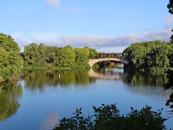
Like many rails-to-trails projects, the Genesee Valley Greenway (GVG) has a multistage history. Many stretches of the trail utilize the towpath of the Genesee Valley Canal which connected Rochester to Mount Morris in 1840 and was later extended to Olean on the Allegheny River, just north of the Pennsylvania border. The full line was opened in 1862 but was closed in 1878 and sold to the newly formed Genesee Valley Canal Railroad which connected Rochester to Hinsdale in 1882. Vestiges of this past are visible in the towpaths and rail beds themselves, but also the old canal locks, canal turning basins, arched culverts, aqueducts, and signage dotting the trailside telling this rich history.
Taking a moment to stop and read helps imbue one with a sense of the deep history on these connections. The idea that an infrastructure investment nearly two hundred years ago is still in use and paying dividends today adds a new perspective on conservation and investing in communities. But the repurposing of the land was not a solitary event, it took decades of work by conservationists and outdoor enthusiasts to help secure and protect the land for public use. Its continued existence is in part the stewardship of the state, but also local groups and individuals who volunteer and contribute through Adopt a Trail Programs, annual cleanups, as well as financial and material contributions great and small. As these greenways expand, connecting communities physically and socially, more and more of New York will be connected by vehicle-free, vibrant corridors that bring outdoor enthusiasts one step closer to being able to walk, or more likely bike, across the state.

