Share This Location


Seen by many as a linchpin for connecting Ithaca’s numerous existing trails and parks through an off-road trail network, the first phase of the Black Diamond Trail is finally complete. This is great news for not only Ithaca and nearby residents but all outdoor enthusiasts.
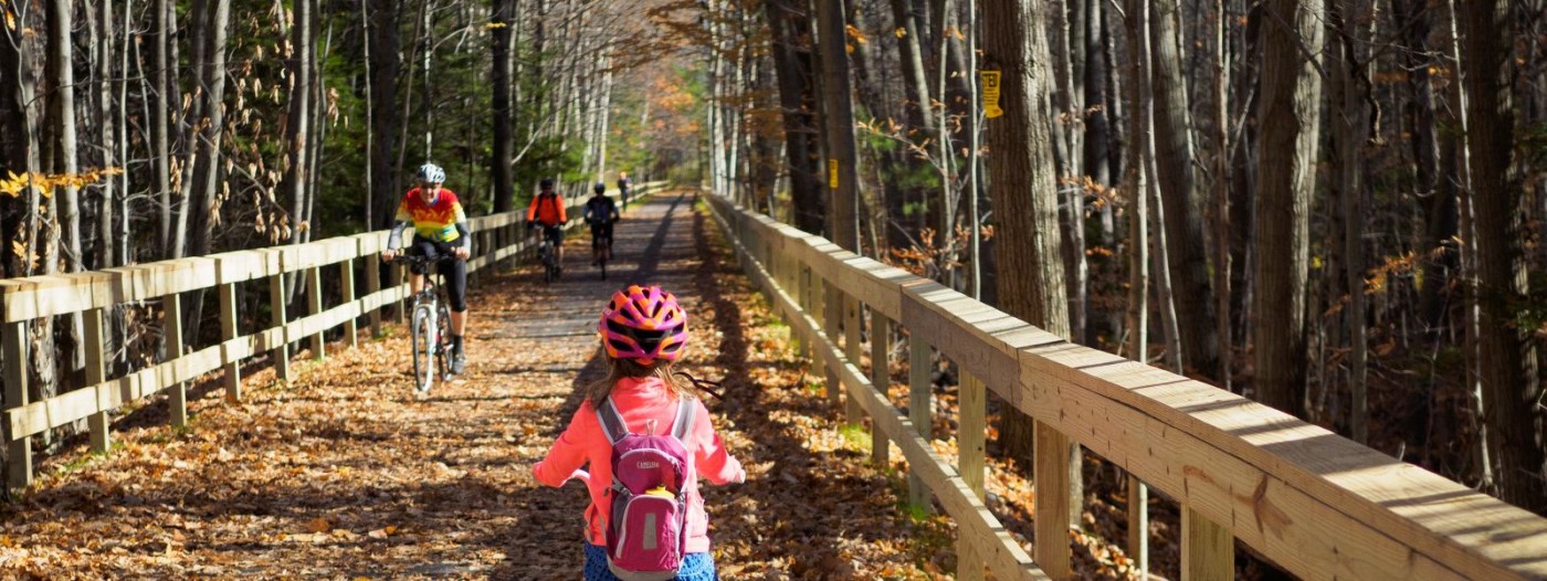
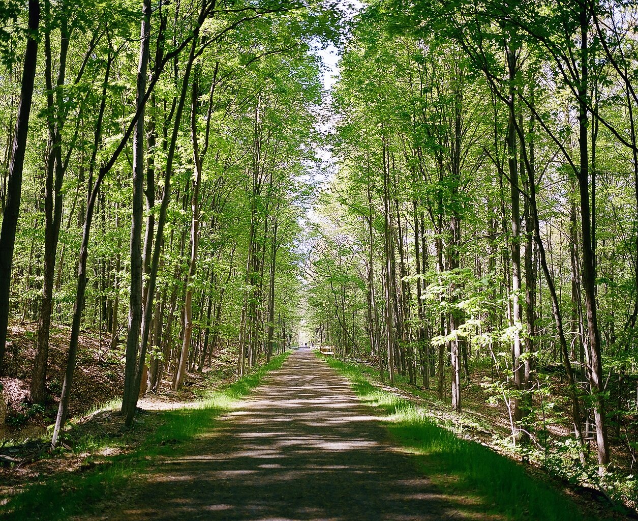
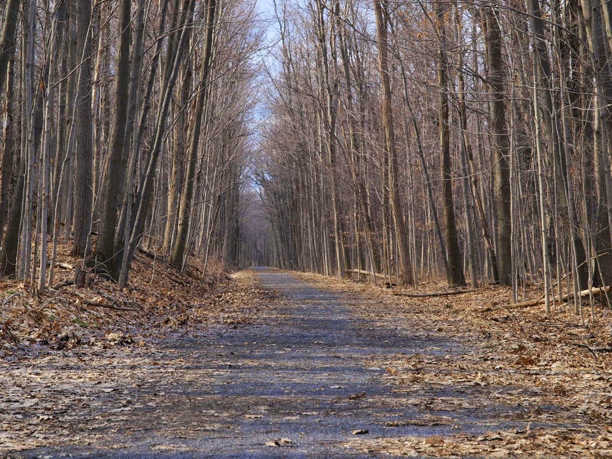
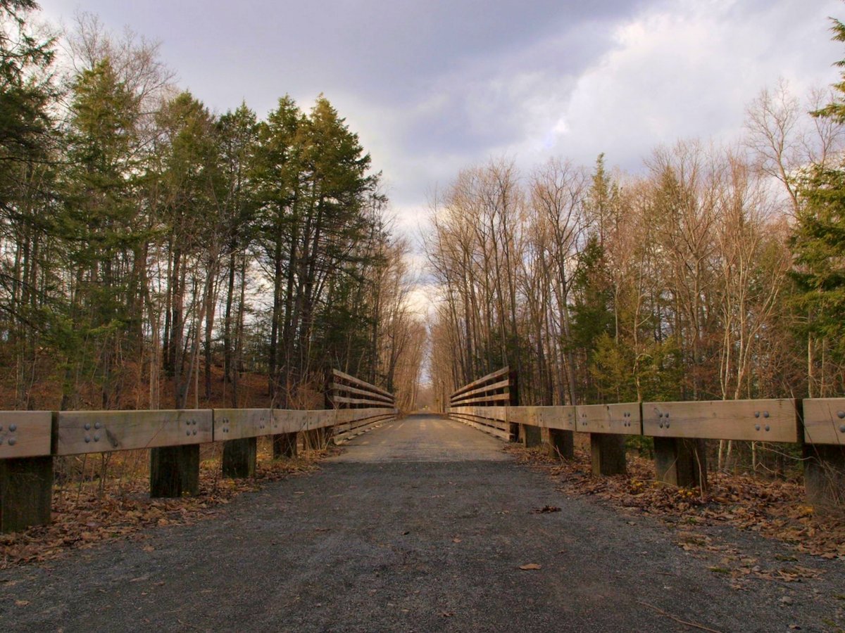
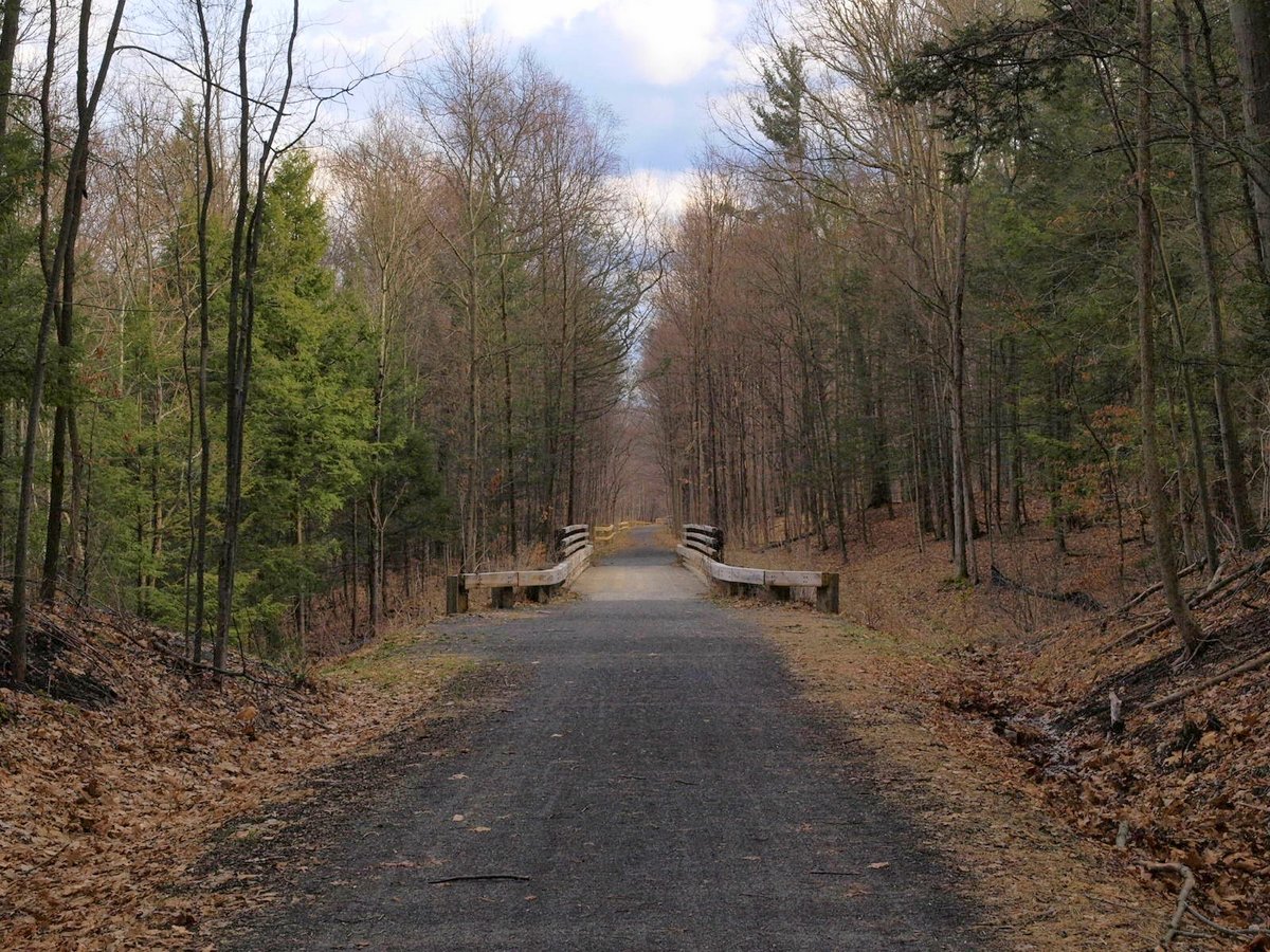
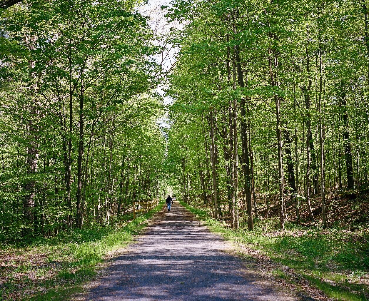
Though evocative of a hazardous downhill ski run, the Black Diamond Trail is actually a broad, mostly level, multiuse trail — limited to cyclists, walkers, runners, cross country skiers, and snowshoers. Its stone dust surface makes the trail a pleasure to ride on or to stroll along in what is essentially a picturesque, eight-mile-long, tree-lined alleyway.
Named after the Black Diamond Express, which once ran from Buffalo to New York City along the Lehigh Valley Railroad, the trail is another success story of repurposing old industrial infrastructure to serve and enhance present-day communities, such as the Catharine Valley Trail, Cayuga-Seneca Canal Trail, Dryden Rail Trail, and Keuka Outlet Trail.
First-time visitors should remember to double their mileage when planning out-and-back routes, while one-way trekkers may want to note that the grade slopes downward most of the way from Taughannock Falls State Park in Trumansburg to Cass Park in Ithaca. The grade is modest, with a slight exception along the initial climb away from Cass Park, and it is an excellent trip in either direction.
Connecting the amazing waterfalls and gorges along an off-road corridor has been a goal 40 years in the making. After the last trains stopped using the rail line in the 1960s, the land was transferred to New York State Electric & Gas (NYSEG). In the 1970s, the New York State Parks office first proposed a trail that would extend from Geneva to Ithaca. This ambitious original vision was soon scaled back to a trail connecting the iconic gorge state parks in Trumansburg and Ithaca.
Much like the Catharine Valley Trail, land acquisition posed a serious impediment and decades passed while the land was acquired and plans developed. One property, in particular, slowed progress, and over the course of several years, Finger Lakes Land Trust staff supported the state’s efforts to negotiate for this missing link. The Land Trust partnered with the nearby Museum of the Earth to have the property appraised and in November 2013, New York State Parks secured this last missing piece, finally clearing the way to complete the trail.
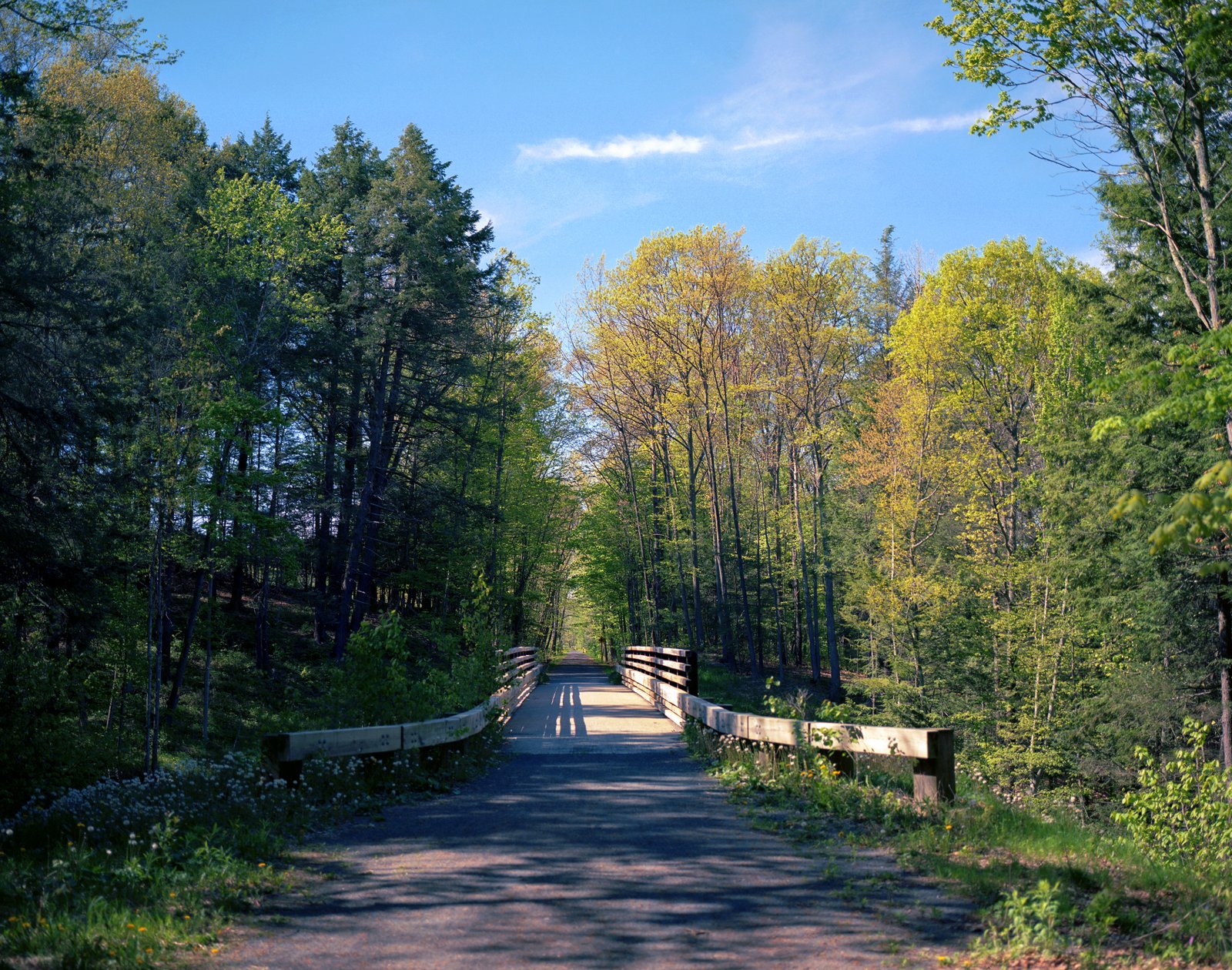
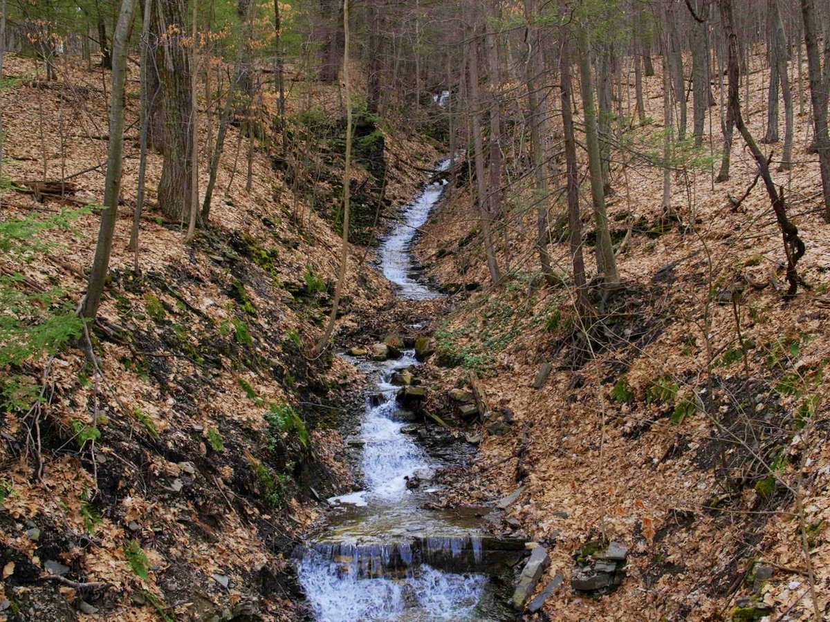
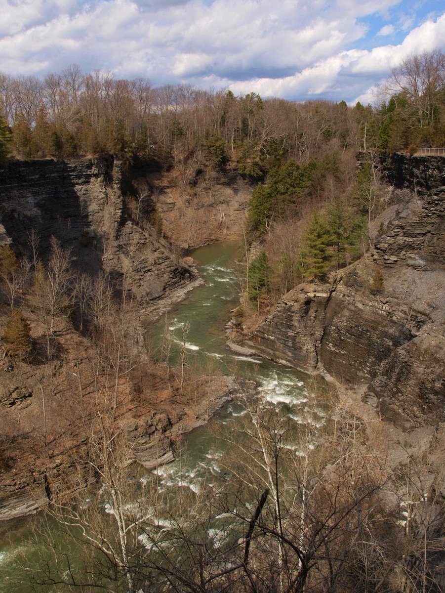
Another impediment to completion is what makes Ithaca so “Gorges.” Since the trail follows the western edge of Cayuga Lake, a plethora of streams, brooks, gorges, and rivulets are crossed, necessitating many culverts and bridges to allow current and future drainage into the lake. Fortunately for the trail’s travelers, these streams and brooks mean that the serene woodland is constantly enhanced by gorges, waterfalls, and small cascades. Note that many of these water sources dry up in summer, so to enjoy the waterscapes visit in spring or after heavy rains.
Over the years, Black Diamond Trail Enthusiasts Network (BDTEN) volunteers helped to bolster support and community interest in the trail by mobilizing supporters to speak up and help push the project forward. By holding public events and organizing volunteer clean-up days, they helped spread the message further. It is illustrative of the fact that even good ideas that most people agree upon need public voices and participants to help bring lofty conservation goals into reality.
The next phase of the trail will connect Cass Park with Buttermilk Falls State Park and a third and final stage will continue south to Robert Treman State Park. Connecting the three major gorge state parks would create a splendid adventure. Though these future stages are a long way off, hopefully, they won’t take as long to implement as the first phase.