Share This Location


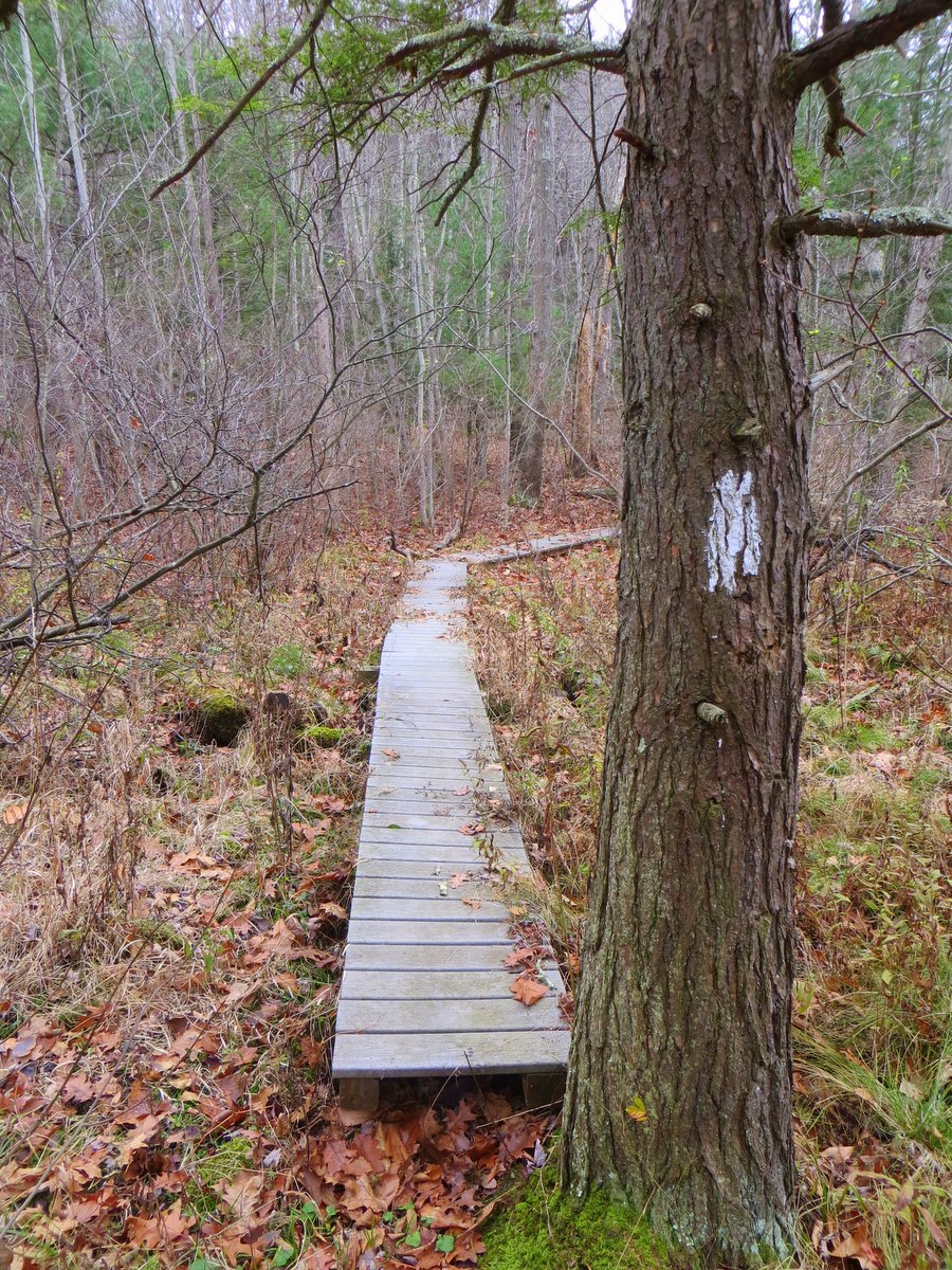
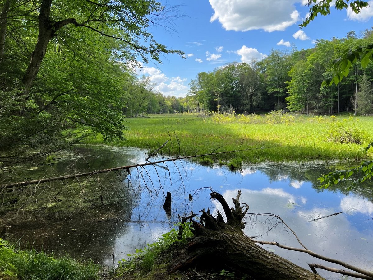
The 983-acre Texas Hollow State Forest lies between Connecticut Hill Wildlife Management Area to the southeast and the Finger Lakes National Forest to the north. The trails in the forest feature a section along the Finger Lakes Trail (FLT)/ North Country Trail (NCT) and a short loop that threads its way around a couple of the natural ponds.
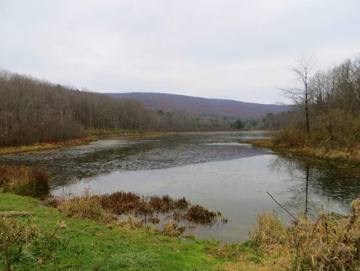
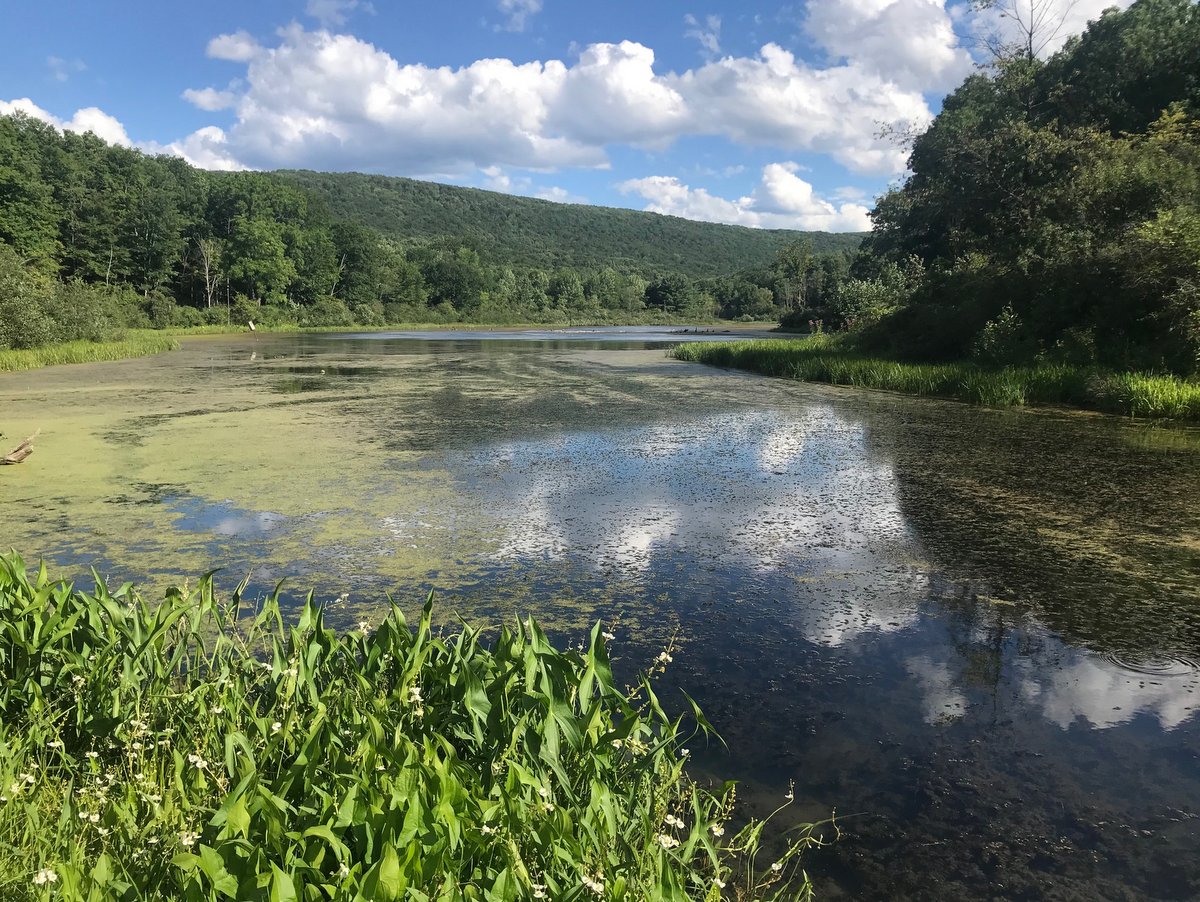
The man-made pond is a short distance from the parking area along Texas Hollow Road, so boaters can easily portage in for some tranquil paddling and excellent fishing. Be aware that the parking area is along a gated access road and not at the large pull-off where the FLT crosses Texas Hollow Road; the access road is slightly south of this pull-off and the green FLT sign.
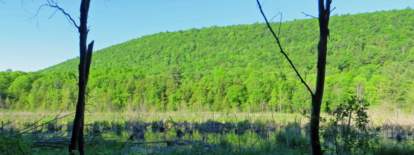
As the name implies, much of the forest lies within a hollow — a depression in the topography. But unlike hollows in other parts of the country, which are typically V-shaped valleys, hollows in the Finger Lakes have their own peculiar nature. Instead of a V, the valleys are U-shaped and occur between over-steepened hillsides that resemble elongated mounds. This is not the typical morphology of a valley, where rivers or streams slowly erode the surface forming ever-deepened ruts in the landscape.
This oddness is quite visible within Texas Hollow as you view Foots Hill westward across the man-made pond. The Laurentide glaciers gouged out the typically V-shaped valleys and bulldozed them into U’s approximately 15,000 years ago. This is one more illustrative example of how glaciers helped shape the region.
Unlike hollows in other parts of the country, which are typically V-shaped valleys, hollows in the Finger Lakes have their own peculiar nature.
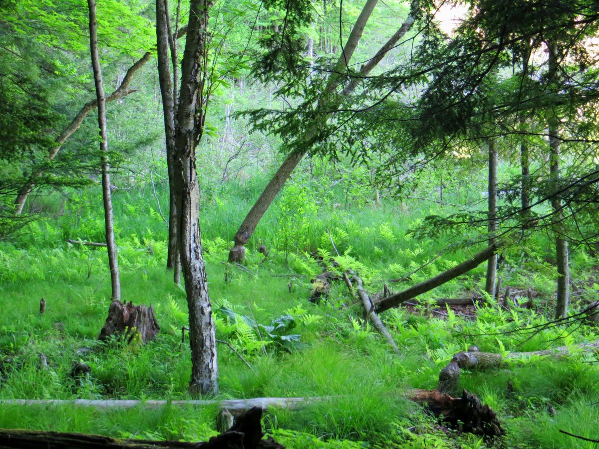
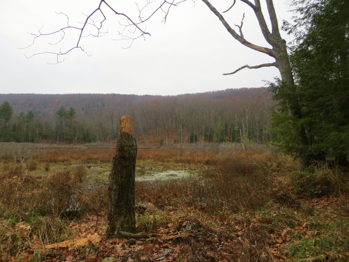
Within the hollow, the canopies vary from open to enclosed. The terrain is flat and hiking relatively easy as it weaves around the ponds and through the bog where beaver chewed stumps are occasionally seen.
In the past, the site was known as the Texas Hollow Bird Sanctuary and features the only bog community within Schuyler County. Its acquisition and addition in 1998 to the state forest has helped preserve an important ecological niche for the many waterfowl (and occasional fisherman) seen dotting the pond, likely in the form of a heron.
Hikers that traverse to the eastern edge of the forest find a thick, deciduous canopy along a trail that climbs up one of these glacially steepened hillsides to the forest boundary on Newtown Road.