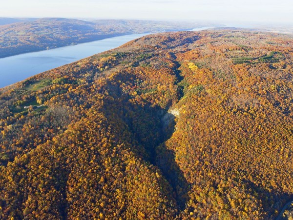
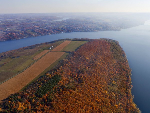
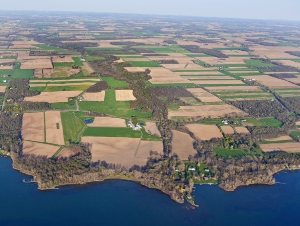
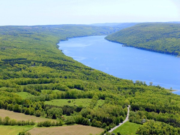
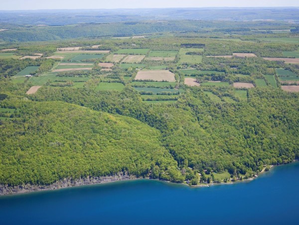
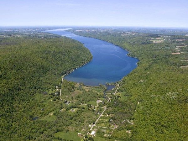
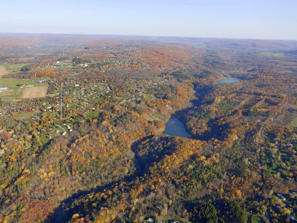
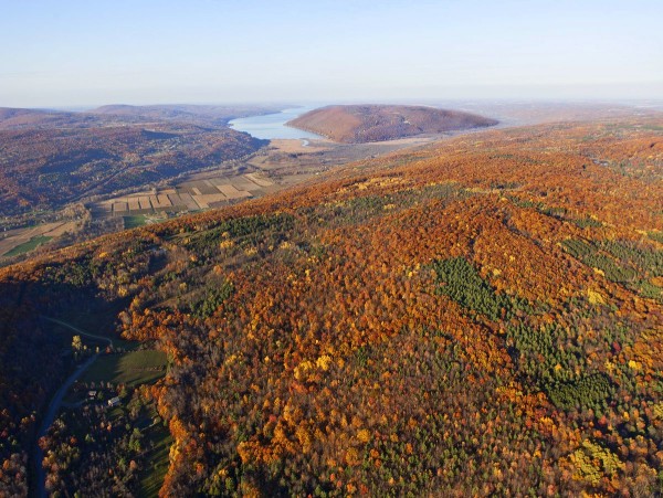
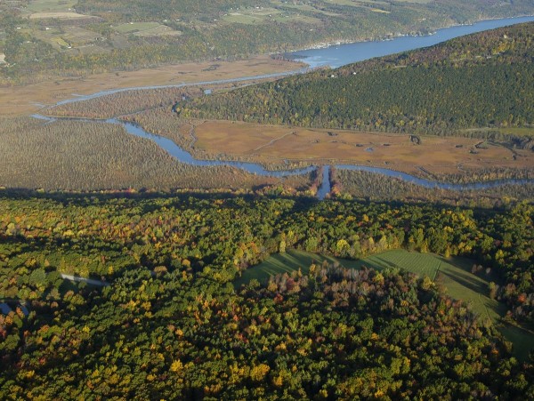
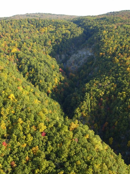
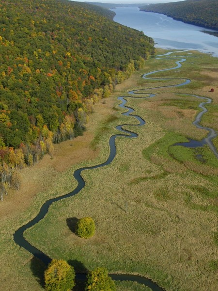
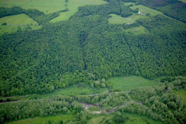
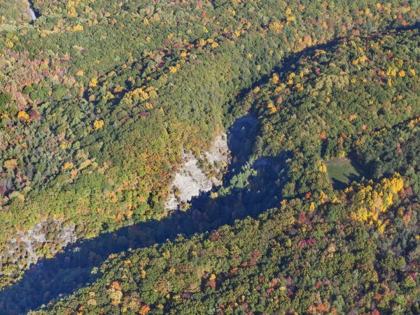
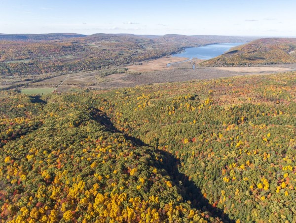
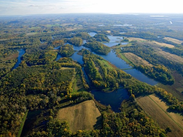
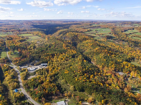
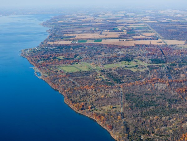
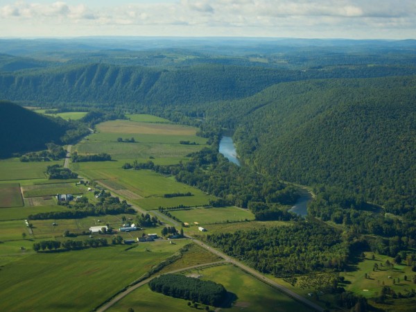
Aerial FLX!

Photo: Bill Hecht

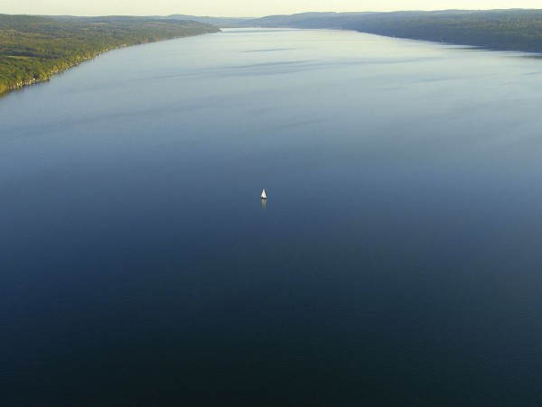
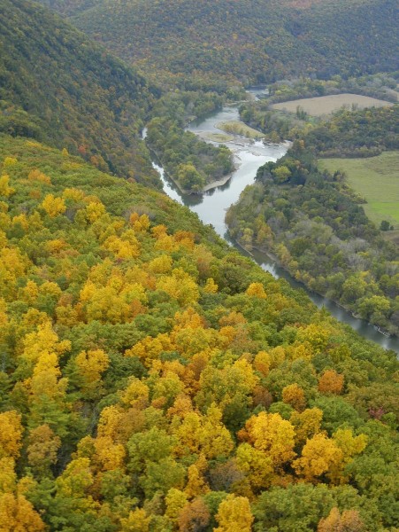
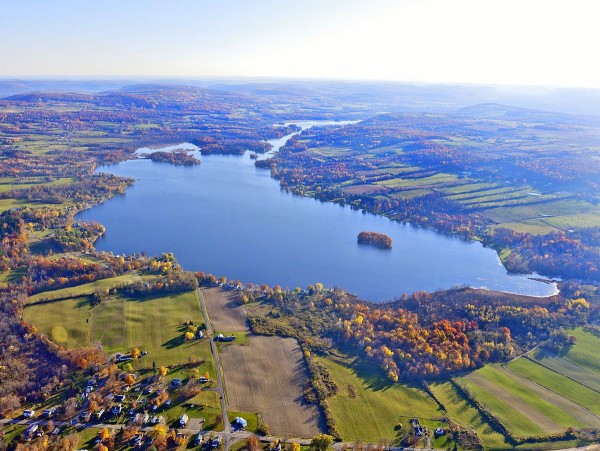
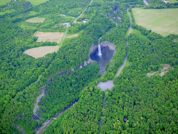
Favorite Airplane Photos of the Finger Lakes

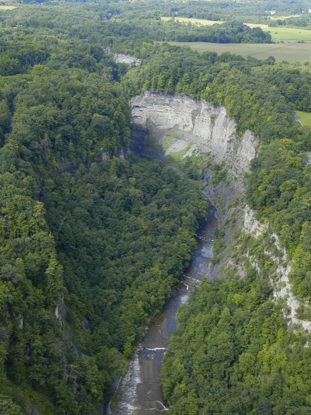
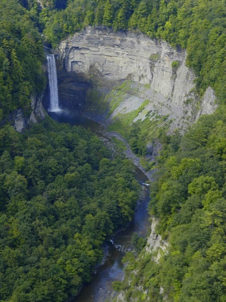
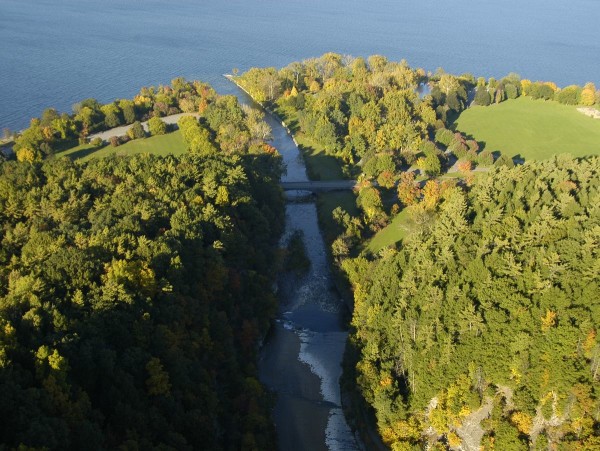
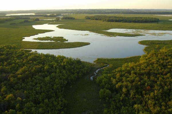
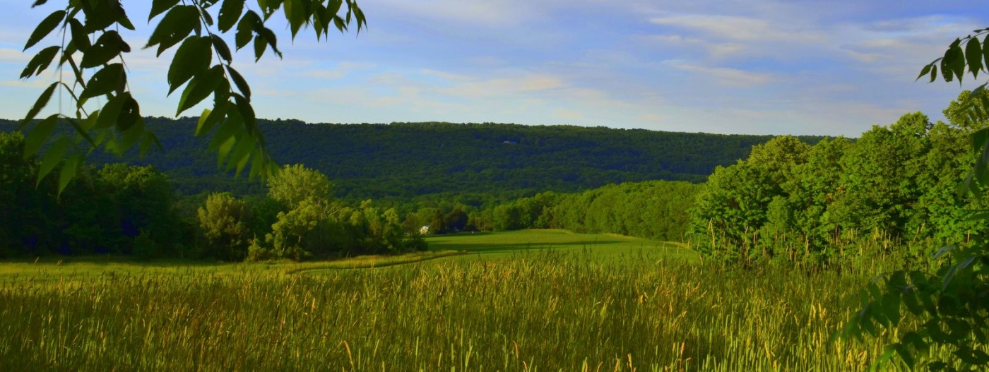
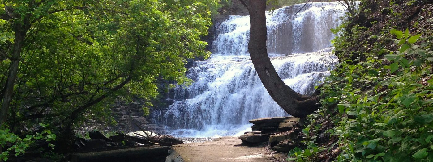
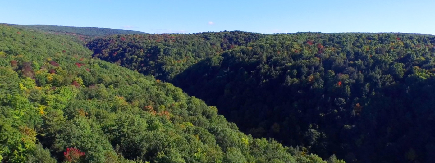
Here are some of our favorite aerial photos of the lakes and natural areas across the region, sent by volunteers of the Finger Lakes Land Trust.  Help us save more land and water!

Thanks to our volunteers for sharing!

Do you have great photos and videos of our region?

Want to share with the Finger Lakes Land Trust?

Please contact us at gofingerlakes@fllt.org.

Your imagery can help advance conservation through our communications and outreach on the web, social media, print and more!

Join the conservation conversation…

Land Trust on Facebook

Finger Lakes Trail

Photo: Robert Teitelbaum

Over 950 Miles Long and Covering Some of the Most Scenic Land in New York

Since 1962, the Finger Lakes Trail Conference has worked to build a continuous footpath across New York State.

Here on Gofingerlakes.org, you can learn about the following locations which contain portions of the Finger Lakes Trail.

The Finger Lakes Trail system runs from Allegheny State Park on the Pennsylvania border to the Catskill Forest Preserve, with branch trails to Niagara Falls, the Genesee River valley, the Great Eastern Trail, the central Finger Lakes, and the Syracuse region.  This system is built and maintained almost entirely by volunteers.  The Finger Lakes Trail Conference (FLTC) invites you to hike the trail and volunteer to keep it beautiful; see their site for maps and tools.

See some of our Favorite Hikes on the Finger Lakes Trail.

Happy exploring!

Be a Trailblazer – help us build new nature preserves!

Volunteer!

Ithaca Trails

Photo: Jeff Katris

Visit ithacatrails.org for lots of trails in Tompkins County.

With over 232 miles of trails, the GPS-enabled site features a searchable map and directions. 

The following Tompkins County natural areas, found on ithacatrails.org, are also mapped and profiled here on Gofingerlakes.org:

For a comprehensive list of all 232 miles of trails in Tompkins County, visit ithacatrails.org.

Funded by a grant from the Tompkins County Tourism Program, the site allows users to search for trails based on the type of experience they are looking for.  It has the flexibility to allow searches for information such as distance, difficulty, dog walking, scenic views and picnicking.

Screen Shot 2017-06-27 at 6.32.34 AM

The project is a partnership of the Tompkins County Parks and Trails Network.  Partner organizations include the Cornell Botanic Gardens, Town of Ulysses, Tompkins County Tourism Program, Tompkins County Planning Department, Ithaca Tompkins County Convention and Visitors Bureau, the Finger Lakes Land Trust, NY State Parks, the NYS Department of Environmental Conservation, Ithaca College Natural Lands, Cornell Lab of Ornithology, City of Ithaca, Town of Ithaca, Town of Lansing, Town of Dryden, Town of Danby, the Nature Conservancy and user groups like Bike Walk Tompkins, the Cayuga Trails Club, and Finger Lakes Trails Conference.

Happy exploring around beautiful Tompkins County.

Need public transportation? The TCAT to Trails map provides information on access to various parks and trails in Tompkins County from TCAT bus stops.

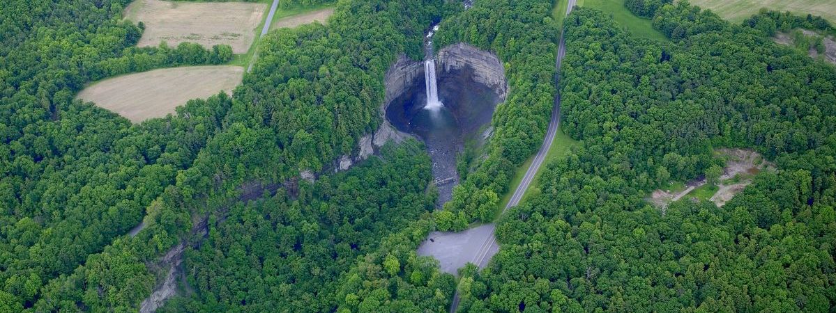
Wesley in the West

Photo: Bill Hecht

Watch more nature videos on the Land Trust web site!

Go to fllt.org/video

Staghorns!

Photo: Bill Hecht

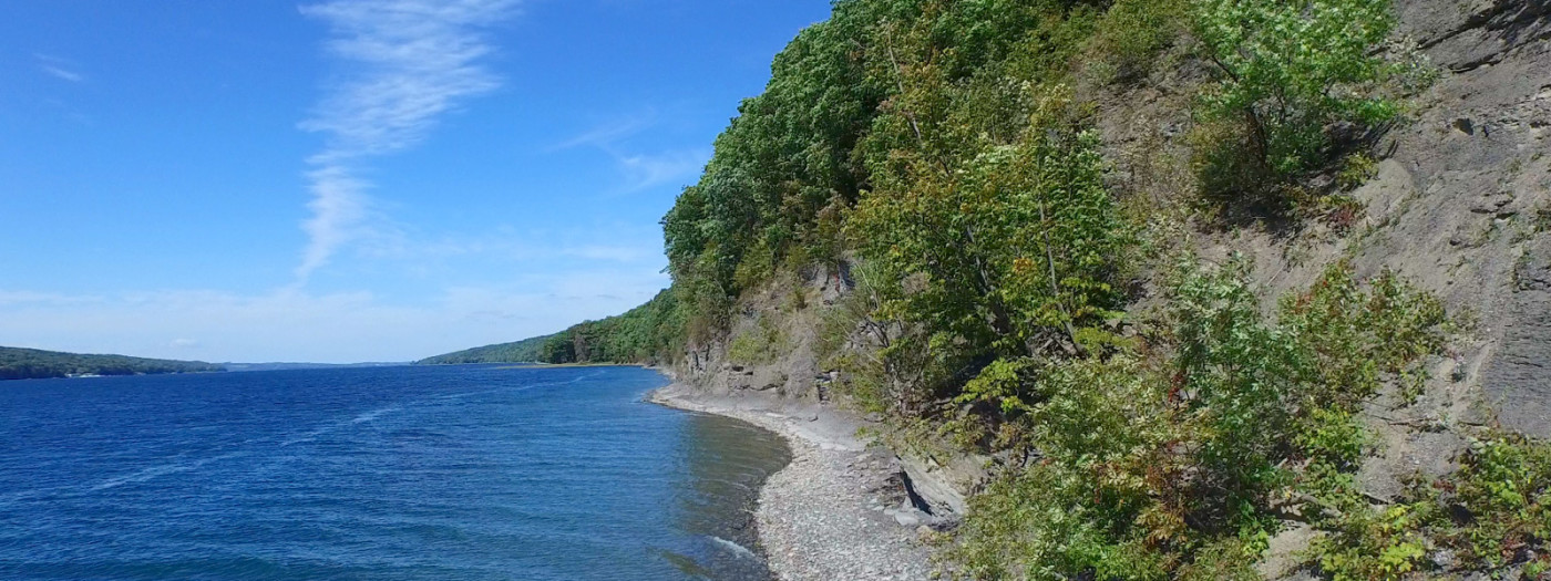
You Can Paddle to the Staghorn Cliffs on the Eastern Shore of Skaneateles Lake

Towering over the eastern shoreline of Skaneateles Lake are the Staghorn Cliffs, named for the ancient coral fossils found along the waterline.  The Finger Lakes Land Trust protects over 1,350 feet of the shoreline at its Cora Kampfe Dickinson Conservation Area, accessible only by boat.

To find other outdoor adventures near the Staghorn Cliffs, see the interactive map.

Do you have great videos or photos of nature in the Finger Lakes?  Want to share with the Land Trust?  If so, please email us at gofingerlakes@fllt.org.

Watch more nature videos on the Land Trust web site!

Go to fllt.org/video

Lick Brook Snow

Photo: FLLT

Watch more nature videos on the Land Trust web site!

Go to fllt.org/video

Steege on Chemung

Photo: Bill Hecht

Watch more nature videos on the Land Trust web site!

Go to fllt.org/video

Drinking Water!

Photo: FLLT

Where does your drinking water come from?

If you live or work in the City of Ithaca, your drinking water comes from beautiful Six Mile Creek.  The Finger Lakes Land Trust has recently undertaken the Six Mile Creek Protection Project to permanently secure 12,000 feet of shoreline on land that connects to the Roy H. Park Preserve, Hammond Hill State Forest, and other conserved lands.
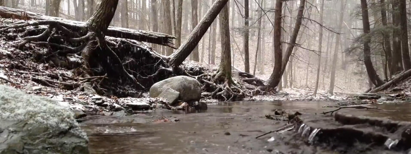
Where does YOUR drinking water come from?

Did you know that the 11 Finger Lakes provide drinking water for over 1 million people?

Did you know that there are persistent and documented threats to drinking water quality in the Finger Lakes region?

Learn more about drinking water and how we can protect it in our regional conservation agenda, Lakes, Farms, and Forests Forever.
 

Watch more nature videos on the Land Trust web site!

Go to fllt.org/video

Hollow Snow

Photo: FLLT

Watch more nature videos on the Land Trust web site!

Go to fllt.org/video

Forest on the FLX

Photo: FLLT

Early Spring Visit to a Forest on the Finger Lakes Trail

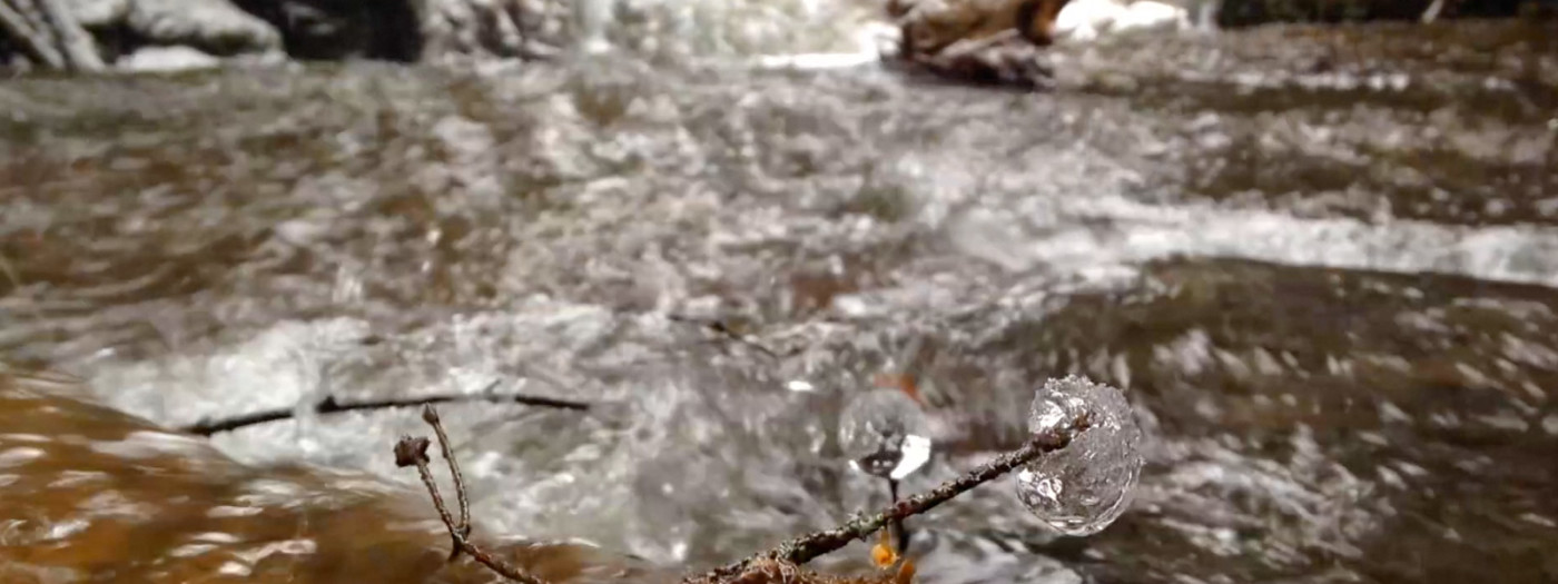
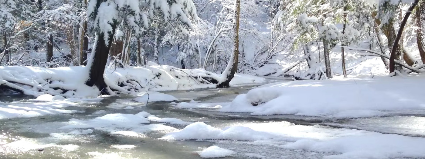
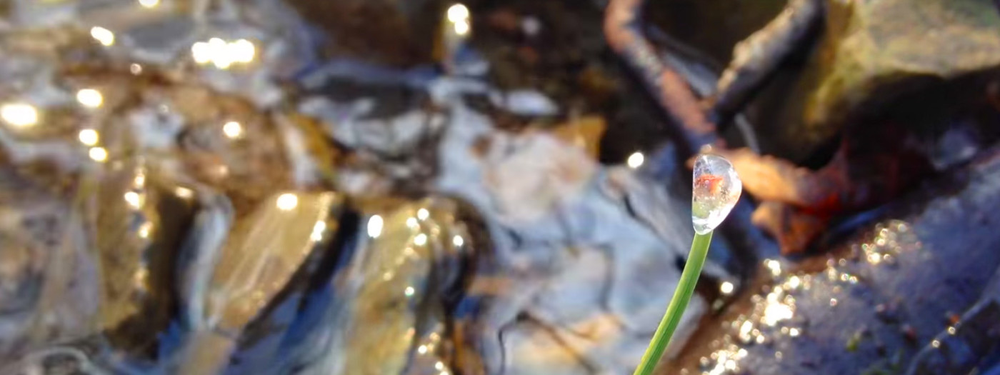
Owned by the Finger Lakes Trail Conference and protected by a conservation easement with the Finger Lakes Land Trust, the Bock-Harvey Forest Preserve features a portion of the Finger Lakes Trail, a mix of forest and fields, and proximity to other conserved lands.  Enjoy this short video from an early spring day when snowmelt had the small creek running through beautiful ice formations.

To find other outdoor adventures near the Bock-Harvey Forest Preserve, see the interactive map.

Do you have great videos or photos of nature in the Finger Lakes?  Want to share with the Land Trust?  If so, please email us at gofingerlakes@fllt.org.

Watch more nature videos on the Land Trust web site!

Go to fllt.org/video